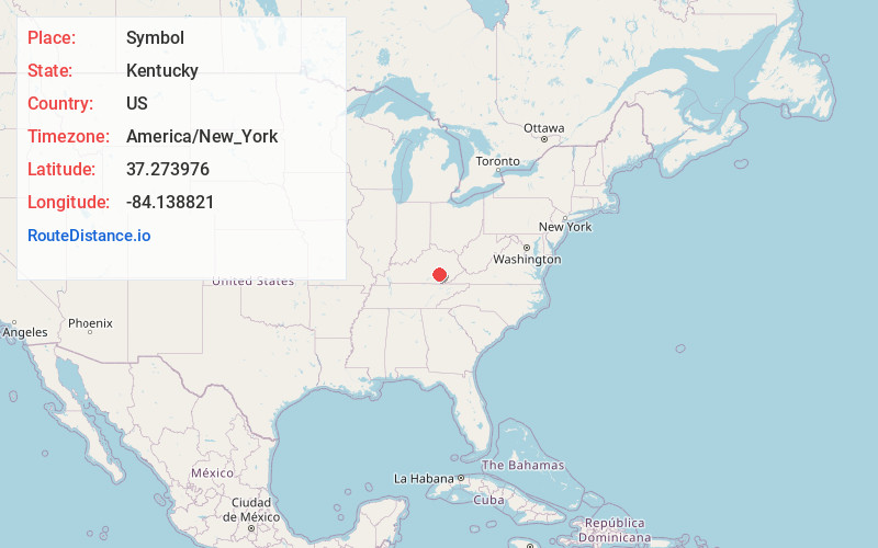
Distance to Symbol, Kentucky

Calculating Your Route
Just a moment while we process your request...
Location Information
-
Full AddressSymbol, KY 40729
-
Coordinates37.2739756, -84.1388213
-
LocationSymbol , Kentucky , US
-
TimezoneAmerica/New_York
-
Current Local Time1:07:42 AM America/New_YorkWednesday, June 25, 2025
-
Page Views0
About Symbol
Symbol is an unincorporated community located in Laurel County, Kentucky, United States. Its post office closed in 1988.

Nearby Places
Found 10 places within 50 miles

Mershons
1.0 mi
1.6 km
Mershons, KY 40729
Get directions
Victory
2.8 mi
4.5 km
Victory, KY 40729
Get directions
Cornette
2.9 mi
4.7 km
Cornette, KY 40729
Get directions
Oakley
3.3 mi
5.3 km
Oakley, KY 40729
Get directions
Hazel Patch
3.6 mi
5.8 km
Hazel Patch, KY 40729
Get directions
Eberle
3.7 mi
6.0 km
Eberle, KY 40447
Get directions

Livingston
4.5 mi
7.2 km
Livingston, KY 40445
Get directions
Peoples
4.8 mi
7.7 km
Peoples, KY 40402
Get directions
Atlanta
5.7 mi
9.2 km
Atlanta, KY 40729
Get directions

East Bernstadt
5.9 mi
9.5 km
East Bernstadt, KY 40729
Get directions
Location Links
Local Weather
Weather Information
Coming soon!
Location Map
Static map view of Symbol, Kentucky
Browse Places by Distance
Places within specific distances from Symbol
Short Distances
Long Distances
Click any distance to see all places within that range from Symbol. Distances shown in miles (1 mile ≈ 1.61 kilometers).