Distance to Tackner, Missouri

Calculating Your Route
Just a moment while we process your request...
Location Information
-
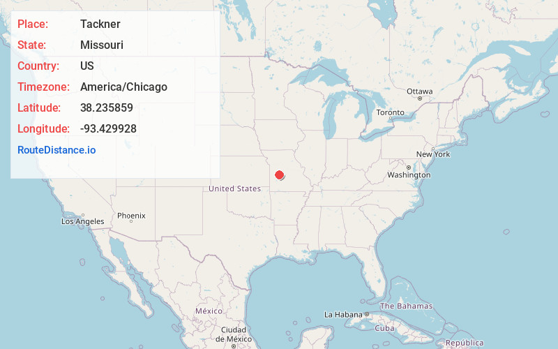
Full AddressTackner, Tom Township, MO 65355
-
Coordinates38.2358587, -93.4299276
-
LocationTom Township , Missouri , US
-
TimezoneAmerica/Chicago
-
Current Local Time3:20:40 AM America/ChicagoTuesday, June 3, 2025
-
Page Views0
About Tackner
Tackner is an unincorporated community in Benton County, Missouri, United States. Tackner is located on Missouri Route 7 near the Truman Reservoir, 2.7 miles west of Warsaw.
A post office called Tackner was established in 1890, and remained in operation until 1911.
Nearby Places
Found 10 places within 50 miles

Valley View
2.1 mi
3.4 km
Valley View, Tom Township, MO 65355
Get directions
Cold Springs
2.6 mi
4.2 km
Cold Springs, Tom Township, MO 65355
Get directions

Warsaw
2.7 mi
4.3 km
Warsaw, MO 65355
Get directions
Whitakerville
3.5 mi
5.6 km
Whitakerville, MO 65355
Get directions
Blue Branch
4.0 mi
6.4 km
Blue Branch, White Branch, MO 65355
Get directions
White Branch
4.1 mi
6.6 km
White Branch, MO 65355
Get directions
Pom-o-sa Heights
4.6 mi
7.4 km
Pom-o-sa Heights, MO 65355
Get directions

Racket
5.2 mi
8.4 km
Racket, MO 64735
Get directions
Wisdom
5.4 mi
8.7 km
Wisdom, MO 65355
Get directions
Finey
6.3 mi
10.1 km
Finey, Osage Township, MO 64740
Get directions
Location Links
Local Weather
Weather Information
Coming soon!
Location Map
Static map view of Tackner, Missouri
Browse Places by Distance
Places within specific distances from Tackner
Short Distances
Long Distances
Click any distance to see all places within that range from Tackner. Distances shown in miles (1 mile ≈ 1.61 kilometers).