Distance to Tahoma, California

Calculating Your Route
Just a moment while we process your request...
Location Information
-
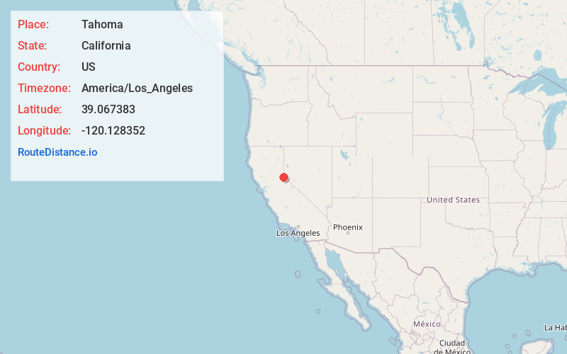
Full AddressTahoma, CA 96142
-
Coordinates39.0673832, -120.1283521
-
LocationTahoma , California , US
-
TimezoneAmerica/Los_Angeles
-
Current Local Time12:31:33 AM America/Los_AngelesWednesday, June 18, 2025
-
Page Views0
About Tahoma
Tahoma is a census-designated place in Placer and El Dorado counties, California, United States. Tahoma is located along Lake Tahoe 2 miles southeast of Homewood. Tahoma has a population of 1,191.
Tahoma has a post office with ZIP code 96142, which opened in 1946.


Nearby Places
Found 10 places within 50 miles

Tahoe City
7.0 mi
11.3 km
Tahoe City, CA
Get directions

Dollar Point
8.5 mi
13.7 km
Dollar Point, CA 96145
Get directions

Olympic Valley
10.6 mi
17.1 km
Olympic Valley, CA 96146
Get directions

Tahoe Vista
12.6 mi
20.3 km
Tahoe Vista, CA
Get directions

Kings Beach
13.0 mi
20.9 km
Kings Beach, CA
Get directions

Kingsbury
13.4 mi
21.6 km
Kingsbury, NV
Get directions

Incline Village
15.7 mi
25.3 km
Incline Village, NV
Get directions

Meyers
16.0 mi
25.7 km
Meyers, CA 96150
Get directions

Truckee
18.2 mi
29.3 km
Truckee, CA 96161
Get directions

Indian Hills
18.5 mi
29.8 km
Indian Hills, NV
Get directions
Location Links
Local Weather
Weather Information
Coming soon!
Location Map
Static map view of Tahoma, California
Browse Places by Distance
Places within specific distances from Tahoma
Short Distances
Long Distances
Click any distance to see all places within that range from Tahoma. Distances shown in miles (1 mile ≈ 1.61 kilometers).