Distance to Tamalco, Illinois

Calculating Your Route
Just a moment while we process your request...
Location Information
-
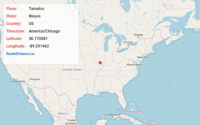
Full AddressTamalco, IL 62253
-
Coordinates38.7708808, -89.2914624
-
LocationTamalco , Illinois , US
-
TimezoneAmerica/Chicago
-
Current Local Time9:14:42 AM America/ChicagoMonday, May 19, 2025
-
Page Views0
About Tamalco
Tamalco is an unincorporated community in Bond County, Illinois, United States. Tamalco is located along a railroad line northwest of Keyesport.
The community was named in 1884 as a portmanteau of the names of Bond County residents W. H. Taylor, John McLaren, and Frank Colwell.
Nearby Places
Found 10 places within 50 miles

Keyesport
2.2 mi
3.5 km
Keyesport, IL 62253
Get directions
Pleasant Mound
6.4 mi
10.3 km
Pleasant Mound, IL 62284
Get directions
Dudleyville
7.7 mi
12.4 km
Dudleyville, IL 62246
Get directions

Smithboro
9.1 mi
14.6 km
Smithboro, IL 62284
Get directions
Patoka
10.6 mi
17.1 km
Patoka, IL 62875
Get directions

Greenville
10.6 mi
17.1 km
Greenville, IL
Get directions
Mulberry Grove
10.7 mi
17.2 km
Mulberry Grove, IL 62262
Get directions
Stubblefield
10.8 mi
17.4 km
Stubblefield, IL 62246
Get directions
Vernon
11.2 mi
18.0 km
Vernon, IL 62892
Get directions
Huey
11.5 mi
18.5 km
Huey, IL
Get directions
Location Links
Local Weather
Weather Information
Coming soon!
Location Map
Static map view of Tamalco, Illinois
Browse Places by Distance
Places within specific distances from Tamalco
Short Distances
Long Distances
Click any distance to see all places within that range from Tamalco. Distances shown in miles (1 mile ≈ 1.61 kilometers).