Distance to Tampa, Kansas

Calculating Your Route
Just a moment while we process your request...
Location Information
-
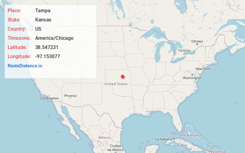
Full AddressTampa, KS 67483
-
Coordinates38.5472314, -97.1530774
-
LocationTampa , Kansas , US
-
TimezoneAmerica/Chicago
-
Current Local Time12:40:31 PM America/ChicagoMonday, June 30, 2025
-
Website
-
Page Views0
About Tampa
Tampa is a city in Marion County, Kansas, United States. As of the 2020 census the population of the city was 105. It is located between Durham and Ramona and is next to a railroad.


Nearby Places
Found 10 places within 50 miles

Hope
10.7 mi
17.2 km
Hope, KS 67451
Get directions

Lincolnville
11.1 mi
17.9 km
Lincolnville, KS 66858
Get directions

Hillsboro
13.8 mi
22.2 km
Hillsboro, KS 67063
Get directions

Herington
14.2 mi
22.9 km
Herington, KS 67449
Get directions

Lehigh
14.5 mi
23.3 km
Lehigh, KS 67073
Get directions

Marion
15.6 mi
25.1 km
Marion, KS 66861
Get directions
Navarre
17.4 mi
28.0 km
Navarre, KS 67451
Get directions

Gypsum
18.4 mi
29.6 km
Gypsum, KS 67448
Get directions
Canton
18.6 mi
29.9 km
Canton, KS 67428
Get directions

Goessel
23.3 mi
37.5 km
Goessel, KS
Get directions
Location Links
Local Weather
Weather Information
Coming soon!
Location Map
Static map view of Tampa, Kansas
Browse Places by Distance
Places within specific distances from Tampa
Short Distances
Long Distances
Click any distance to see all places within that range from Tampa. Distances shown in miles (1 mile ≈ 1.61 kilometers).