Distance to Tapoco, North Carolina

Calculating Your Route
Just a moment while we process your request...
Location Information
-
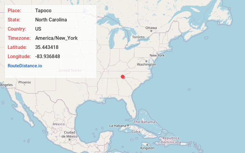
Full AddressTapoco, NC 28771
-
Coordinates35.4434184, -83.9368475
-
LocationTapoco , North Carolina , US
-
TimezoneAmerica/New_York
-
Current Local Time5:19:33 AM America/New_YorkWednesday, June 18, 2025
-
Page Views0
About Tapoco
Tapoco is an unincorporated community in Graham County, North Carolina, United States. Tapoco is located on U.S. Route 129 near the Little Tennessee River, 11 miles northwest of Robbinsville. Named for the acronym of the former Tallassee Power Company, Tapoco had a post office until it closed on October 26, 1995.

Nearby Places
Found 10 places within 50 miles

Rymers Ferry
3.8 mi
6.1 km
Rymers Ferry, NC 28771
Get directions
Jenkins Meadow
4.3 mi
6.9 km
Jenkins Meadow, NC 28771
Get directions
Fairfax
5.5 mi
8.9 km
Fairfax, NC 28733
Get directions
Calderwood
5.6 mi
9.0 km
Calderwood, TN 37878
Get directions

Fontana Dam
6.7 mi
10.8 km
Fontana Dam, NC
Get directions

Lake Santeetlah
6.8 mi
10.9 km
Lake Santeetlah, NC 28771
Get directions

Chilhowee Lake
8.4 mi
13.5 km
Chilhowee Lake, Tennessee
Get directions

Tallassee
10.0 mi
16.1 km
Tallassee, TN 37878
Get directions
McGuires
10.3 mi
16.6 km
McGuires, NC 28771
Get directions

Robbinsville
11.1 mi
17.9 km
Robbinsville, NC 28771
Get directions
Location Links
Local Weather
Weather Information
Coming soon!
Location Map
Static map view of Tapoco, North Carolina
Browse Places by Distance
Places within specific distances from Tapoco
Short Distances
Long Distances
Click any distance to see all places within that range from Tapoco. Distances shown in miles (1 mile ≈ 1.61 kilometers).