Distance to Tarkio, Montana

Calculating Your Route
Just a moment while we process your request...
Location Information
-
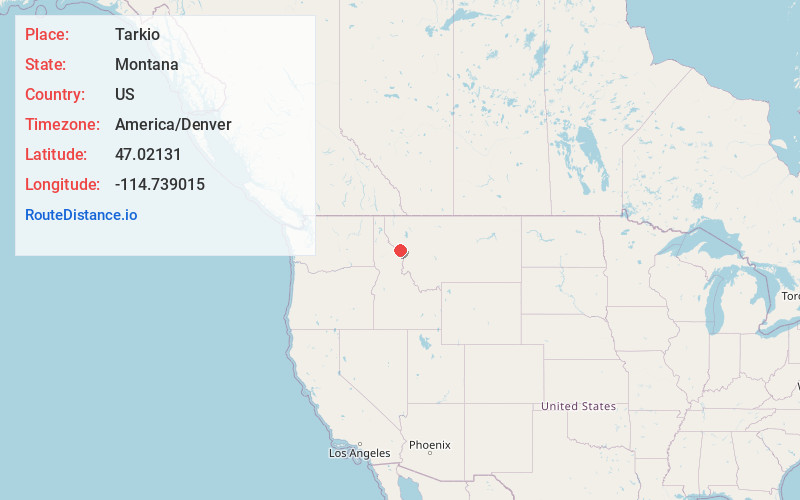
Full AddressTarkio, MT 59872
-
Coordinates47.0213104, -114.7390146
-
LocationTarkio , Montana , US
-
TimezoneAmerica/Denver
-
Current Local Time11:07:28 AM America/DenverThursday, June 19, 2025
-
Page Views0
About Tarkio
Tarkio is an unincorporated community in Montana, United States, located in Mineral County. Tarkio falls in Mountain Time Zone and observes daylight saving time.
Tarkio's elevation is 2,936 feet above sea level, and is approximately 40 miles outside of Missoula. It lies along Interstate 90 with access via exit 61.

Nearby Places
Found 10 places within 50 miles

Cyr
7.3 mi
11.7 km
Cyr, MT 59820
Get directions
Riverbend
10.1 mi
16.3 km
Riverbend, MT 59872
Get directions

Alberton
12.6 mi
20.3 km
Alberton, MT 59820
Get directions

Superior
13.8 mi
22.2 km
Superior, MT 59872
Get directions

Huson
19.2 mi
30.9 km
Huson, MT
Get directions
Frenchtown
24.0 mi
38.6 km
Frenchtown, MT
Get directions

Paradise
25.6 mi
41.2 km
Paradise, MT 59859
Get directions
Schilling
25.6 mi
41.2 km
Schilling, MT 59808
Get directions

St Regis
25.8 mi
41.5 km
St Regis, MT 59866
Get directions
Primrose
27.8 mi
44.7 km
Primrose, MT 59808
Get directions
Location Links
Local Weather
Weather Information
Coming soon!
Location Map
Static map view of Tarkio, Montana
Browse Places by Distance
Places within specific distances from Tarkio
Short Distances
Long Distances
Click any distance to see all places within that range from Tarkio. Distances shown in miles (1 mile ≈ 1.61 kilometers).