Distance to Tates Bluff, Arkansas

Calculating Your Route
Just a moment while we process your request...
Location Information
-
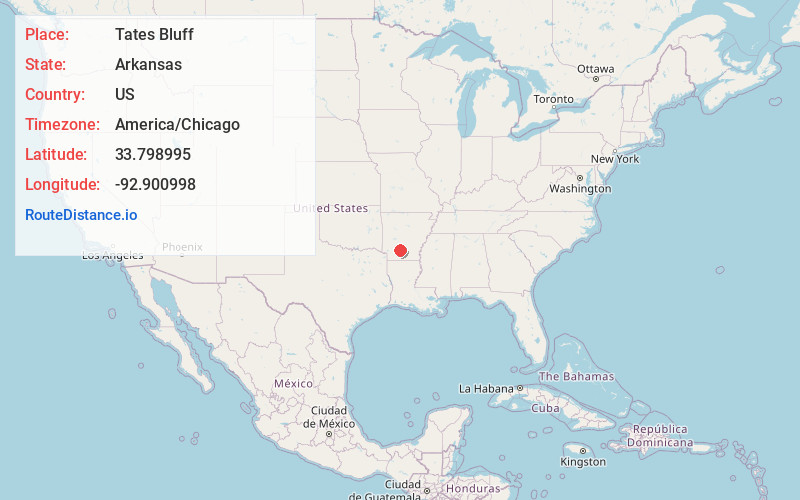
Full AddressTates Bluff, AR 71726
-
Coordinates33.7989946, -92.9009982
-
LocationArkansas , US
-
TimezoneAmerica/Chicago
-
Current Local Time11:15:31 AM America/ChicagoMonday, June 23, 2025
-
Page Views0
About Tates Bluff
Tates Bluff is an unincorporated community in Ouachita County, Arkansas, United States. Tates Bluff is located near the northern border of Ouachita County, 15.2 miles north-northwest of Camden. The Tate's Bluff Fortification, which is listed on the National Register of Historic Places, is located near Tates Bluff.
Nearby Places
Found 10 places within 50 miles

Trace
3.9 mi
6.3 km
Trace, AR 71923
Get directions
Smead
4.8 mi
7.7 km
Smead, AR 71763
Get directions
Vaden
5.5 mi
8.9 km
Vaden, AR 71923
Get directions
Amy
6.7 mi
10.8 km
Amy, AR 71701
Get directions
Sparkman
8.7 mi
14.0 km
Sparkman, AR 71763
Get directions

Chidester
9.6 mi
15.4 km
Chidester, AR 71726
Get directions
Bragg City
10.4 mi
16.7 km
Bragg City, AR 71726
Get directions
Shakertown
10.4 mi
16.7 km
Shakertown, AR 71923
Get directions
Holly Springs
11.0 mi
17.7 km
Holly Springs, AR 71763
Get directions
Sayre
11.4 mi
18.3 km
Sayre, Reader, AR 71726
Get directions
Location Links
Local Weather
Weather Information
Coming soon!
Location Map
Static map view of Tates Bluff, Arkansas
Browse Places by Distance
Places within specific distances from Tates Bluff
Short Distances
Long Distances
Click any distance to see all places within that range from Tates Bluff. Distances shown in miles (1 mile ≈ 1.61 kilometers).