Distance to Chidester, Arkansas

Calculating Your Route
Just a moment while we process your request...
Location Information
-
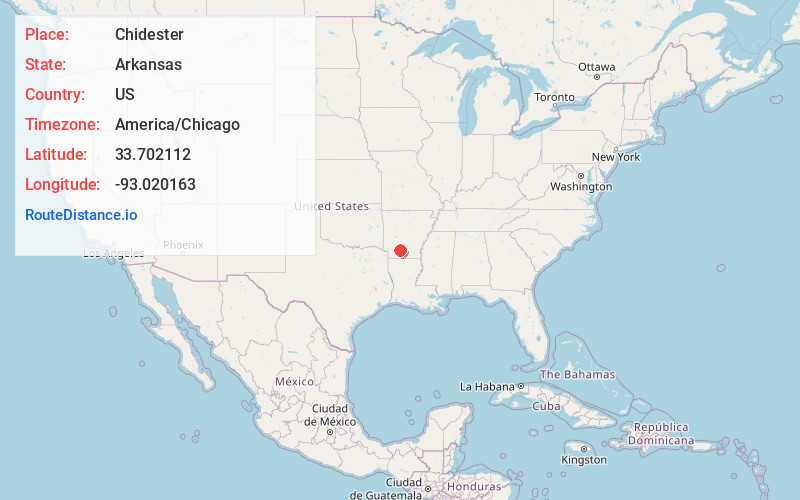
Full AddressChidester, AR 71726
-
Coordinates33.7021115, -93.0201629
-
LocationChidester , Arkansas , US
-
TimezoneAmerica/Chicago
-
Current Local Time6:11:36 PM America/ChicagoWednesday, June 18, 2025
-
Page Views0
About Chidester
Chidester is a city in northwest Ouachita County, Arkansas, United States. The population was 253 at the 2020 census. It is part of the Camden Micropolitan Statistical Area. It was founded in 1880 and incorporated on February 14, 1906.


Nearby Places
Found 10 places within 50 miles

Camden
13.5 mi
21.7 km
Camden, AR 71701
Get directions

Rosston
16.6 mi
26.7 km
Rosston, AR 71858
Get directions

Gurdon
16.9 mi
27.2 km
Gurdon, AR 71743
Get directions
East Camden
17.3 mi
27.8 km
East Camden, AR 71701
Get directions
Sparkman
17.8 mi
28.6 km
Sparkman, AR 71763
Get directions
Stephens
20.3 mi
32.7 km
Stephens, AR 71764
Get directions

Prescott
21.9 mi
35.2 km
Prescott, AR 71857
Get directions

Bearden
23.3 mi
37.5 km
Bearden, AR 71720
Get directions

Emmet
26.0 mi
41.8 km
Emmet, AR 71835
Get directions
McNeil
26.7 mi
43.0 km
McNeil, AR 71752
Get directions
Location Links
Local Weather
Weather Information
Coming soon!
Location Map
Static map view of Chidester, Arkansas
Browse Places by Distance
Places within specific distances from Chidester
Short Distances
Long Distances
Click any distance to see all places within that range from Chidester. Distances shown in miles (1 mile ≈ 1.61 kilometers).