Distance to Taylortown, Louisiana

Calculating Your Route
Just a moment while we process your request...
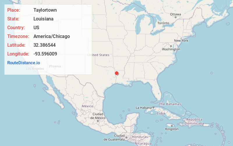
Location Information
-
Full AddressTaylortown, LA 71051
-
Coordinates32.3865439, -93.5960094
-
LocationTaylortown , Louisiana , US
-
TimezoneAmerica/Chicago
-
Current Local Time3:45:43 PM America/ChicagoSaturday, June 7, 2025
-
Page Views0
About Taylortown
Taylortown is a plantation village in Bossier Parish, Louisiana, United States.
It is located near a junction of US-71, La- 527, and Ash Point road, on the Red River, between Moon and Red Chute Lakes.
It is part of the Shreveport-Bossier City Metropolitan Statistical Area and a suburb of Shreveport.
Nearby Places
Found 10 places within 50 miles

Magenta
1.3 mi
2.1 km
Magenta, LA 71051
Get directions
Gayles
3.2 mi
5.1 km
Gayles, LA 71115
Get directions
Robson
3.2 mi
5.1 km
Robson, LA 71115
Get directions
Knot Point
6.0 mi
9.7 km
Knot Point, LA 71051
Get directions
Norton
6.9 mi
11.1 km
Norton, LA 71106
Get directions
Dixie Gardens
7.5 mi
12.1 km
Dixie Gardens, LA 71105
Get directions
Koran
8.2 mi
13.2 km
Koran, LA 71037
Get directions
Poole
9.2 mi
14.8 km
Poole, LA 71051
Get directions
Morris
10.1 mi
16.3 km
Morris, LA 71037
Get directions

Frierson
10.8 mi
17.4 km
Frierson, LA 71027
Get directions
Location Links
Local Weather
Weather Information
Coming soon!
Location Map
Static map view of Taylortown, Louisiana
Browse Places by Distance
Places within specific distances from Taylortown
Short Distances
Long Distances
Click any distance to see all places within that range from Taylortown. Distances shown in miles (1 mile ≈ 1.61 kilometers).