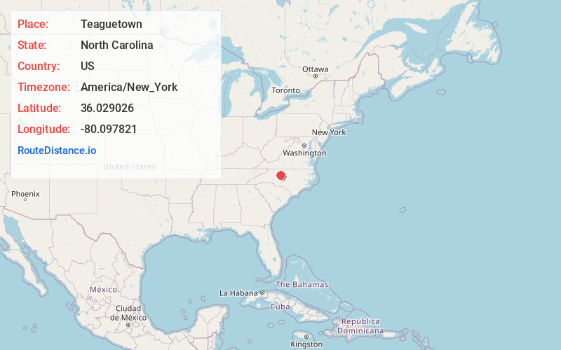
Distance to Teaguetown, North Carolina

Calculating Your Route
Just a moment while we process your request...
Location Information
-
Full AddressTeaguetown, NC 27284
-
Coordinates36.0290259, -80.0978212
-
LocationNorth Carolina , US
-
TimezoneAmerica/New_York
-
Current Local Time7:12:24 PM America/New_YorkTuesday, June 17, 2025
-
Page Views0
Nearby Places
Found 10 places within 50 miles

Horneytown
2.2 mi
3.5 km
Horneytown, NC 27265
Get directions

Wallburg
2.7 mi
4.3 km
Wallburg, NC
Get directions
Gum Tree
6.1 mi
9.8 km
Gum Tree, NC 27107
Get directions

Kernersville
6.4 mi
10.3 km
Kernersville, NC
Get directions
Deep River
6.9 mi
11.1 km
Deep River, High Point, NC 27265
Get directions
Guthrie
7.1 mi
11.4 km
Guthrie, NC 27284
Get directions

High Point
7.2 mi
11.6 km
High Point, NC
Get directions
Union Ridge
7.3 mi
11.7 km
Union Ridge, Winston-Salem, NC 27107
Get directions
South Side
8.5 mi
13.7 km
South Side, Winston-Salem, NC 27127
Get directions
Midway
8.5 mi
13.7 km
Midway, NC
Get directions
Location Links
Local Weather
Weather Information
Coming soon!
Location Map
Static map view of Teaguetown, North Carolina
Browse Places by Distance
Places within specific distances from Teaguetown
Short Distances
Long Distances
Click any distance to see all places within that range from Teaguetown. Distances shown in miles (1 mile ≈ 1.61 kilometers).