Distance to Teasdale, Utah

Calculating Your Route
Just a moment while we process your request...
Location Information
-
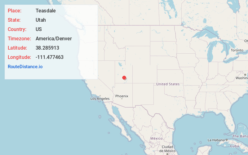
Full AddressTeasdale, UT 84773
-
Coordinates38.2859125, -111.4774629
-
LocationTeasdale , Utah , US
-
TimezoneAmerica/Denver
-
Current Local Time12:25:43 PM America/DenverTuesday, July 1, 2025
-
Page Views0
About Teasdale
Teasdale is a census-designated place in western Wayne County, Utah, United States, between the Dixie and Fishlake National Forests and near Capitol Reef National Park. The population was 191 at the 2010 census.


Nearby Places
Found 10 places within 50 miles

Torrey
3.3 mi
5.3 km
Torrey, UT 84775
Get directions

Bicknell
5.2 mi
8.4 km
Bicknell, UT 84715
Get directions

Loa
12.1 mi
19.5 km
Loa, UT 84747
Get directions

Boulder
26.3 mi
42.3 km
Boulder, UT 84716
Get directions

Koosharem
26.8 mi
43.1 km
Koosharem, UT 84744
Get directions

Escalante
36.3 mi
58.4 km
Escalante, UT 84726
Get directions

Kingston
38.9 mi
62.6 km
Kingston, UT 84740
Get directions

Junction
40.4 mi
65.0 km
Junction, UT 84740
Get directions

Hanksville
41.8 mi
67.3 km
Hanksville, UT 84734
Get directions

Monroe
42.2 mi
67.9 km
Monroe, UT 84754
Get directions
Location Links
Local Weather
Weather Information
Coming soon!
Location Map
Static map view of Teasdale, Utah
Browse Places by Distance
Places within specific distances from Teasdale
Short Distances
Long Distances
Click any distance to see all places within that range from Teasdale. Distances shown in miles (1 mile ≈ 1.61 kilometers).