Distance to Teaselville, Texas

Calculating Your Route
Just a moment while we process your request...
Location Information
-
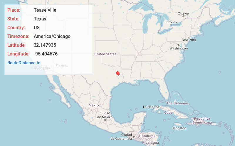
Full AddressTeaselville, TX 75757
-
Coordinates32.1479349, -95.4046761
-
LocationTeaselville , Texas , US
-
TimezoneAmerica/Chicago
-
Current Local Time3:06:07 AM America/ChicagoThursday, June 5, 2025
-
Page Views0
About Teaselville
Teaselville, also known as Loftin, is an unincorporated community in Smith County, Texas, United States. Teaselville is located at the junction of Farm to Market Road 344 and Farm to Market Road 346, 4 miles west of Bullard.
Nearby Places
Found 10 places within 50 miles

Bullard
5.0 mi
8.0 km
Bullard, TX
Get directions

Coffee City
5.7 mi
9.2 km
Coffee City, TX
Get directions

Berryville
5.7 mi
9.2 km
Berryville, TX 75763
Get directions

Noonday
6.1 mi
9.8 km
Noonday, TX
Get directions
Gresham
6.5 mi
10.5 km
Gresham, TX 75762
Get directions

Cuney
8.0 mi
12.9 km
Cuney, TX
Get directions
Reese
8.6 mi
13.8 km
Reese, TX 75766
Get directions

Frankston
8.9 mi
14.3 km
Frankston, TX 75763
Get directions
Walnut Grove
8.9 mi
14.3 km
Walnut Grove, TX 75703
Get directions
Mt Selman
9.0 mi
14.5 km
Mt Selman, TX 75757
Get directions
Location Links
Local Weather
Weather Information
Coming soon!
Location Map
Static map view of Teaselville, Texas
Browse Places by Distance
Places within specific distances from Teaselville
Short Distances
Long Distances
Click any distance to see all places within that range from Teaselville. Distances shown in miles (1 mile ≈ 1.61 kilometers).