Distance to Tecumseh, Missouri

Calculating Your Route
Just a moment while we process your request...
Location Information
-
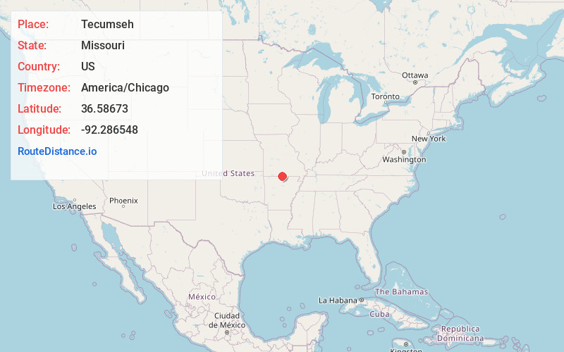
Full AddressTecumseh, MO 65760
-
Coordinates36.5867296, -92.2865477
-
LocationTecumseh , Missouri , US
-
TimezoneAmerica/Chicago
-
Current Local Time7:06:32 PM America/ChicagoSaturday, June 7, 2025
-
Page Views0
About Tecumseh
Tecumseh is an unincorporated community in eastern Ozark County in southern Missouri, United States. It is located on the North Fork River at the north end of Norfork Lake, approximately ten miles east of Gainesville and 32 miles west of West Plains on U.S. Highway 160. Tecumseh has a post office with ZIP code 65760.


Nearby Places
Found 10 places within 50 miles

Mammoth
7.2 mi
11.6 km
Mammoth, Bridges Township, MO 65655
Get directions

Elijah
7.9 mi
12.7 km
Elijah, MO 65626
Get directions

Gainesville
7.9 mi
12.7 km
Gainesville, MO 65655
Get directions

Clarkridge
8.3 mi
13.4 km
Clarkridge, AR 72623
Get directions

Bakersfield
9.2 mi
14.8 km
Bakersfield, MO 65626
Get directions

Gamaliel
9.5 mi
15.3 km
Gamaliel, AR 72537
Get directions
Arditta
12.6 mi
20.3 km
Arditta, MO 65775
Get directions
Ott
13.1 mi
21.1 km
Ott, AR 72538
Get directions
Three Brothers
13.6 mi
21.9 km
Three Brothers, AR 72653
Get directions

Dora
13.7 mi
22.0 km
Dora, MO
Get directions
Location Links
Local Weather
Weather Information
Coming soon!
Location Map
Static map view of Tecumseh, Missouri
Browse Places by Distance
Places within specific distances from Tecumseh
Short Distances
Long Distances
Click any distance to see all places within that range from Tecumseh. Distances shown in miles (1 mile ≈ 1.61 kilometers).