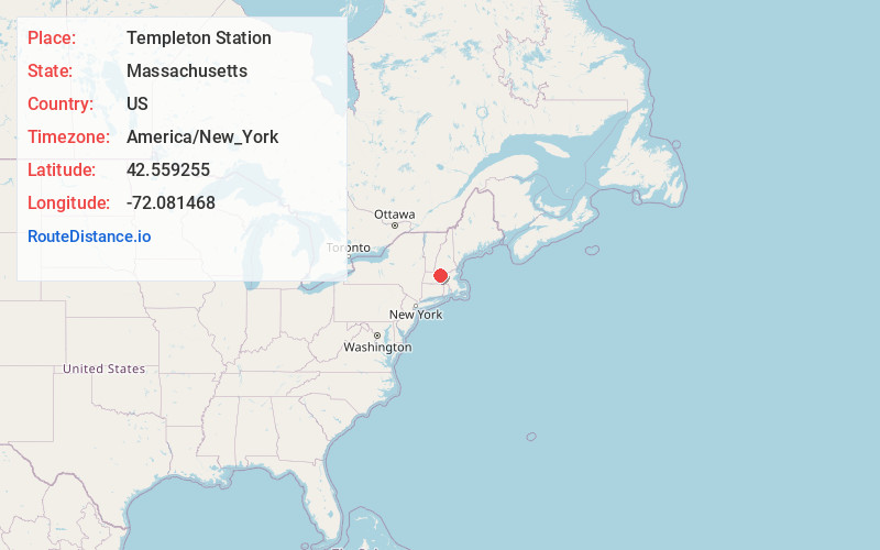
Distance to Templeton Station, Massachusetts

Calculating Your Route
Just a moment while we process your request...
Location Information
-
Full AddressTempleton Station, Templeton, MA 01468
-
Coordinates42.5592549, -72.0814682
-
LocationTempleton , Massachusetts , US
-
TimezoneAmerica/New_York
-
Current Local Time5:47:37 AM America/New_YorkFriday, June 6, 2025
-
Page Views0
Nearby Places
Found 10 places within 50 miles

Templeton
0.7 mi
1.1 km
Templeton, MA
Get directions
Brooks Village
1.3 mi
2.1 km
Brooks Village, Templeton, MA 01468
Get directions
Goulding Village
1.9 mi
3.1 km
Goulding Village, Phillipston, MA 01331
Get directions

Phillipston
2.7 mi
4.3 km
Phillipston, MA 01331
Get directions

Gardner
4.4 mi
7.1 km
Gardner, MA
Get directions
Parkers Station
5.9 mi
9.5 km
Parkers Station, Winchendon, MA 01368
Get directions

Hubbardston
7.0 mi
11.3 km
Hubbardston, MA 01452
Get directions

Petersham
7.2 mi
11.6 km
Petersham, MA
Get directions
Camp Collier
7.3 mi
11.7 km
Camp Collier, Ashburnham, MA 01440
Get directions
Neale Place
7.3 mi
11.7 km
Neale Place, Royalston, MA 01368
Get directions
Location Links
Local Weather
Weather Information
Coming soon!
Location Map
Static map view of Templeton Station, Massachusetts
Browse Places by Distance
Places within specific distances from Templeton Station
Short Distances
Long Distances
Click any distance to see all places within that range from Templeton Station. Distances shown in miles (1 mile ≈ 1.61 kilometers).