Distance to Petersham, Massachusetts

Calculating Your Route
Just a moment while we process your request...
Location Information
-
Full AddressPetersham, MA
-
Coordinates42.4885343, -72.1863155
-
LocationPetersham , Massachusetts , US
-
TimezoneAmerica/New_York
-
Current Local Time8:15:42 AM America/New_YorkTuesday, July 1, 2025
-
Page Views0
About Petersham
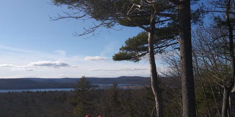
Petersham is a town in Worcester County, Massachusetts, United States. The population was 1,194 at the 2020 census. Petersham is home to a considerable amount of conservation land, including the Quabbin Reservation, Harvard Forest, the Swift River Reservation, and Federated Women's Club State Forest.


Nearby Places
Found 10 places within 50 miles

Phillipston
5.0 mi
8.0 km
Phillipston, MA 01331
Get directions

Barre
6.2 mi
10.0 km
Barre, MA
Get directions

Templeton
7.6 mi
12.2 km
Templeton, MA
Get directions

Athol
7.7 mi
12.4 km
Athol, MA
Get directions

Hubbardston
9.2 mi
14.8 km
Hubbardston, MA 01452
Get directions

Orange
9.3 mi
15.0 km
Orange, MA 01364
Get directions

Hardwick
9.6 mi
15.4 km
Hardwick, MA
Get directions

Gardner
11.3 mi
18.2 km
Gardner, MA
Get directions
Shutesbury
11.6 mi
18.7 km
Shutesbury, MA
Get directions
Oakham
11.8 mi
19.0 km
Oakham, MA
Get directions
Location Links
Local Weather
Weather Information
Coming soon!
Location Map
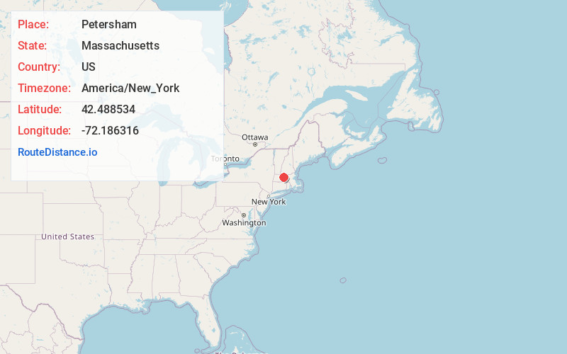
Static map view of Petersham, Massachusetts
Browse Places by Distance
Places within specific distances from Petersham
Short Distances
Long Distances
Click any distance to see all places within that range from Petersham. Distances shown in miles (1 mile ≈ 1.61 kilometers).