Distance to Tendoy, Idaho

Calculating Your Route
Just a moment while we process your request...
Location Information
-
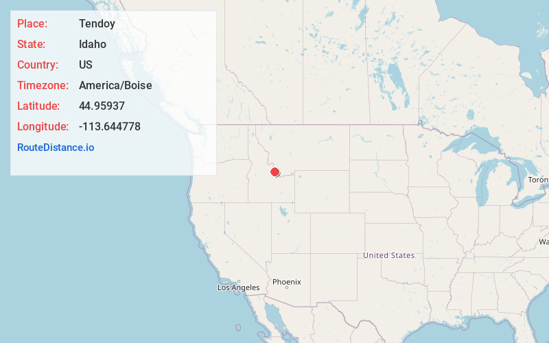
Full AddressTendoy, ID 83468
-
Coordinates44.95937, -113.6447779
-
LocationTendoy , Idaho , US
-
TimezoneAmerica/Boise
-
Current Local Time11:41:22 PM America/BoiseSunday, June 1, 2025
-
Page Views0
About Tendoy
Tendoy is an unincorporated community in Lemhi County, Idaho, United States, located at 44°57′34″N 113°38′41″W on State Highway 28, at an altitude of 4,842 feet. It consists of a small general store and house. It was named for Tendoy, a prominent Lemhi Shoshone chief in the mid-19th century.


Nearby Places
Found 10 places within 50 miles

Lemhi
7.5 mi
12.1 km
Lemhi, ID 83465
Get directions

Baker
10.3 mi
16.6 km
Baker, ID 83467
Get directions

Salmon
19.3 mi
31.1 km
Salmon, ID 83467
Get directions
Chinatown
22.6 mi
36.4 km
Chinatown, MT 59725
Get directions
Carmen
23.0 mi
37.0 km
Carmen, ID 83462
Get directions

Leadore
23.9 mi
38.5 km
Leadore, ID 83464
Get directions
Leadville
24.1 mi
38.8 km
Leadville, ID 83464
Get directions
Ellis
27.1 mi
43.6 km
Ellis, ID 83235
Get directions

May
27.8 mi
44.7 km
May, ID 83253
Get directions
Grant
28.4 mi
45.7 km
Grant, MT 59725
Get directions
Location Links
Local Weather
Weather Information
Coming soon!
Location Map
Static map view of Tendoy, Idaho
Browse Places by Distance
Places within specific distances from Tendoy
Short Distances
Long Distances
Click any distance to see all places within that range from Tendoy. Distances shown in miles (1 mile ≈ 1.61 kilometers).