Distance to Terre Coupee, Indiana

Calculating Your Route
Just a moment while we process your request...
Location Information
-
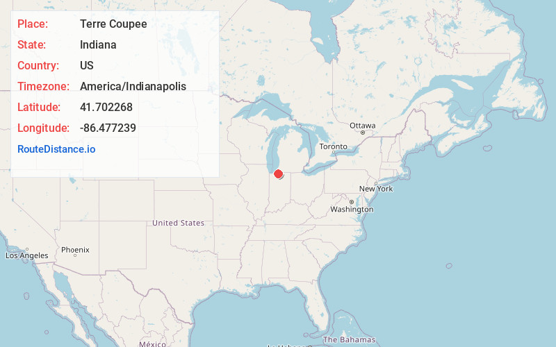
Full AddressTerre Coupee, Olive Township, IN 46552
-
Coordinates41.7022679, -86.4772386
-
LocationOlive Township , Indiana , US
-
TimezoneAmerica/Indianapolis
-
Page Views0
About Terre Coupee
Terre Coupee is an unincorporated community in Olive Township, St. Joseph County, in the U.S. state of Indiana.
The community was first settled in 1828 largely by Quakers.
Nearby Places
Found 10 places within 50 miles

New Carlisle
1.7 mi
2.7 km
New Carlisle, IN 46552
Get directions

Hudson Lake
3.0 mi
4.8 km
Hudson Lake, IN 46552
Get directions

Galien
6.7 mi
10.8 km
Galien, MI 49113
Get directions

Rolling Prairie
7.5 mi
12.1 km
Rolling Prairie, IN 46371
Get directions

Ardmore
8.3 mi
13.4 km
Ardmore, IN 46628
Get directions

Three Oaks
9.6 mi
15.4 km
Three Oaks, MI 49128
Get directions

Fish Lake
10.1 mi
16.3 km
Fish Lake, IN 46574
Get directions

Buchanan
10.5 mi
16.9 km
Buchanan, MI 49107
Get directions

Roseland
11.6 mi
18.7 km
Roseland, IN
Get directions

South Bend
11.8 mi
19.0 km
South Bend, IN
Get directions
Location Links
Local Weather
Weather Information
Coming soon!
Location Map
Static map view of Terre Coupee, Indiana
Browse Places by Distance
Places within specific distances from Terre Coupee
Short Distances
Long Distances
Click any distance to see all places within that range from Terre Coupee. Distances shown in miles (1 mile ≈ 1.61 kilometers).