Distance to Roseland, Indiana

Calculating Your Route
Just a moment while we process your request...
Location Information
-
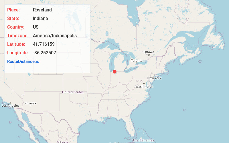
Full AddressRoseland, IN
-
Coordinates41.7161591, -86.2525069
-
LocationRoseland , Indiana , US
-
TimezoneAmerica/Indianapolis
-
Website
-
Page Views0
About Roseland
Roseland is a town in Clay Township, St. Joseph County, in the U.S. state of Indiana. The population was 630 at the 2010 Census. It is part of the South Bend–Mishawaka, IN-MI, Metropolitan Statistical Area.


Nearby Places
Found 10 places within 50 miles

Notre Dame
1.3 mi
2.1 km
Notre Dame, IN 46556
Get directions

South Bend
2.8 mi
4.5 km
South Bend, IN
Get directions

Ardmore
3.8 mi
6.1 km
Ardmore, IN 46628
Get directions

Mishawaka
6.1 mi
9.8 km
Mishawaka, IN
Get directions

Granger
7.7 mi
12.4 km
Granger, IN
Get directions

Niles
7.9 mi
12.7 km
Niles, MI 49120
Get directions

Buchanan
9.5 mi
15.3 km
Buchanan, MI 49107
Get directions

Osceola
9.8 mi
15.8 km
Osceola, IN 46561
Get directions

Edwardsburg
10.4 mi
16.7 km
Edwardsburg, MI 49112
Get directions

New Carlisle
13.3 mi
21.4 km
New Carlisle, IN 46552
Get directions
Location Links
Local Weather
Weather Information
Coming soon!
Location Map
Static map view of Roseland, Indiana
Browse Places by Distance
Places within specific distances from Roseland
Short Distances
Long Distances
Click any distance to see all places within that range from Roseland. Distances shown in miles (1 mile ≈ 1.61 kilometers).