Distance to Edwardsburg, Michigan

Calculating Your Route
Just a moment while we process your request...
Location Information
-
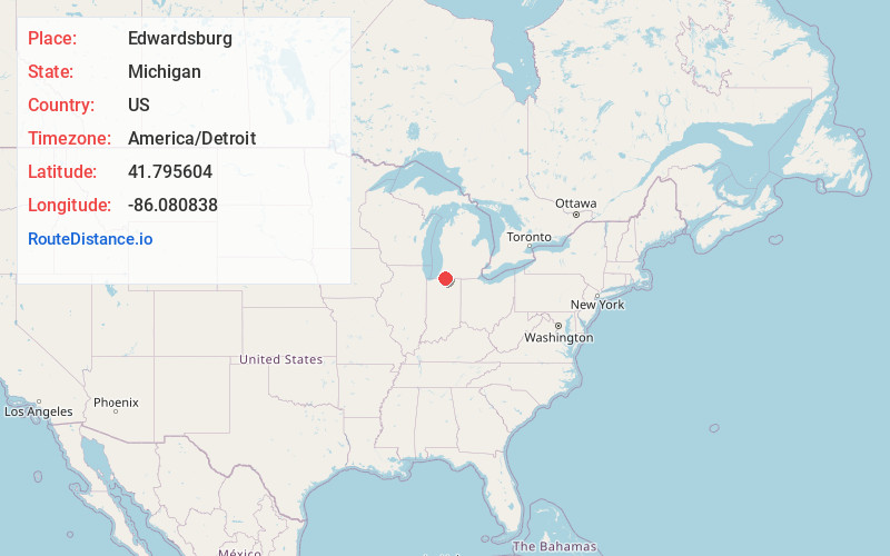
Full AddressEdwardsburg, MI 49112
-
Coordinates41.7956038, -86.0808384
-
LocationEdwardsburg , Michigan , US
-
TimezoneAmerica/Detroit
-
Current Local Time8:37:44 AM America/DetroitSunday, June 22, 2025
-
Page Views0
About Edwardsburg
Edwardsburg is a village within Ontwa Township in Cass County in the U.S. state of Michigan, northeast of South Bend. The population was 1,304 at the 2020 census. It is part of the South Bend–Mishawaka, IN-MI, Metropolitan Statistical Area.


Nearby Places
Found 10 places within 50 miles

Granger
3.3 mi
5.3 km
Granger, IN
Get directions

Simonton Lake
6.2 mi
10.0 km
Simonton Lake, IN 46514
Get directions

Cassopolis
8.8 mi
14.2 km
Cassopolis, MI 49031
Get directions

Osceola
9.0 mi
14.5 km
Osceola, IN 46561
Get directions

Niles
9.2 mi
14.8 km
Niles, MI 49120
Get directions

Elkhart
9.3 mi
15.0 km
Elkhart, IN
Get directions

Mishawaka
10.1 mi
16.3 km
Mishawaka, IN
Get directions

Notre Dame
10.4 mi
16.7 km
Notre Dame, IN 46556
Get directions

South Bend
12.1 mi
19.5 km
South Bend, IN
Get directions

Dowagiac
13.1 mi
21.1 km
Dowagiac, MI 49047
Get directions
Location Links
Local Weather
Weather Information
Coming soon!
Location Map
Static map view of Edwardsburg, Michigan
Browse Places by Distance
Places within specific distances from Edwardsburg
Short Distances
Long Distances
Click any distance to see all places within that range from Edwardsburg. Distances shown in miles (1 mile ≈ 1.61 kilometers).