Distance to Cassopolis, Michigan

Calculating Your Route
Just a moment while we process your request...
Location Information
-
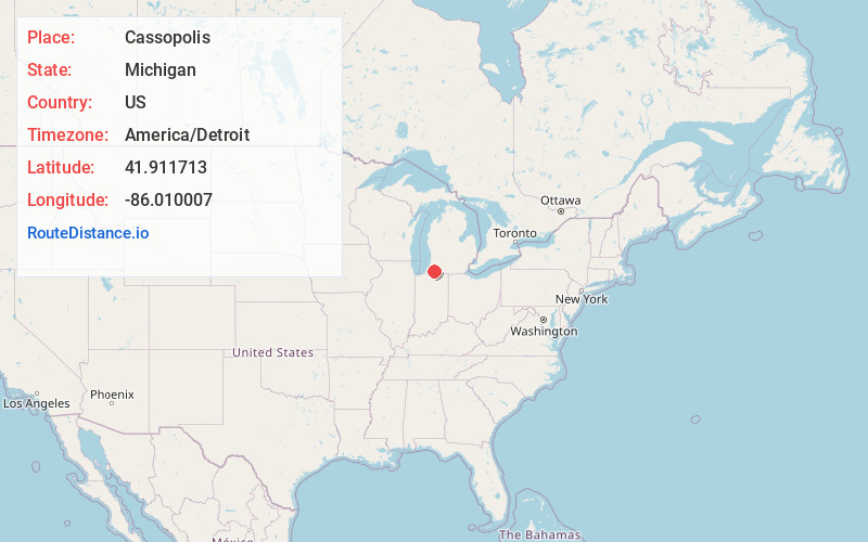
Full AddressCassopolis, MI 49031
-
Coordinates41.9117133, -86.0100068
-
LocationCassopolis , Michigan , US
-
TimezoneAmerica/Detroit
-
Current Local Time1:18:06 AM America/DetroitFriday, June 20, 2025
-
Page Views0
About Cassopolis
Cassopolis is a village in the U.S. state of Michigan and the county seat of Cass County. It is located mostly in LaGrange Township with a small portion extending east into Penn Township.


Nearby Places
Found 10 places within 50 miles

Dowagiac
7.1 mi
11.4 km
Dowagiac, MI 49047
Get directions

Simonton Lake
11.0 mi
17.7 km
Simonton Lake, IN 46514
Get directions

Granger
12.1 mi
19.5 km
Granger, IN
Get directions

Decatur
13.7 mi
22.0 km
Decatur, MI 49045
Get directions

Niles
13.8 mi
22.2 km
Niles, MI 49120
Get directions

Elkhart
15.6 mi
25.1 km
Elkhart, IN
Get directions

Bristol
16.7 mi
26.9 km
Bristol, IN 46507
Get directions

Berrien Springs
17.1 mi
27.5 km
Berrien Springs, MI 49103
Get directions

Osceola
17.4 mi
28.0 km
Osceola, IN 46561
Get directions

Constantine
18.2 mi
29.3 km
Constantine, MI 49042
Get directions
Location Links
Local Weather
Weather Information
Coming soon!
Location Map
Static map view of Cassopolis, Michigan
Browse Places by Distance
Places within specific distances from Cassopolis
Short Distances
Long Distances
Click any distance to see all places within that range from Cassopolis. Distances shown in miles (1 mile ≈ 1.61 kilometers).