Distance to Constantine, Michigan

Calculating Your Route
Just a moment while we process your request...
Location Information
-
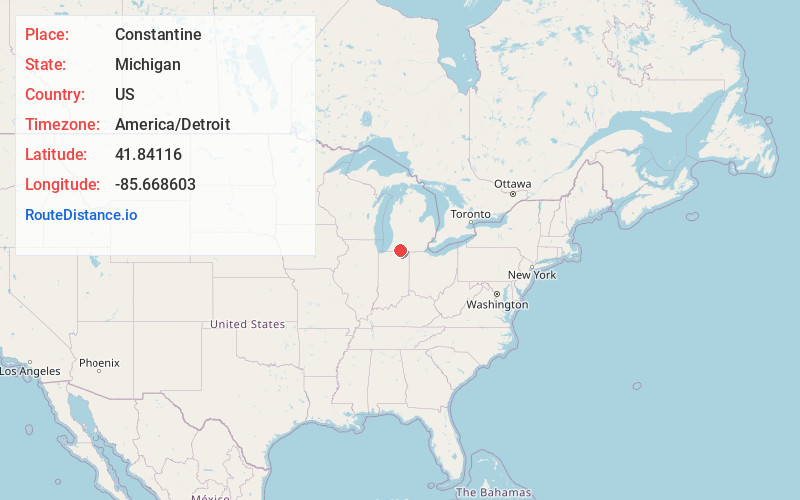
Full AddressConstantine, MI 49042
-
Coordinates41.8411603, -85.6686026
-
LocationConstantine , Michigan , US
-
TimezoneAmerica/Detroit
-
Current Local Time10:37:27 AM America/DetroitMonday, June 23, 2025
-
Page Views0
About Constantine
Constantine is a village in St. Joseph County in the U.S. state of Michigan. The population was 2,076 at the 2010 census. The village is located within Constantine Township. U.S. Highway 131 leads to Kalamazoo to the north and to the Indiana Toll Road six miles to the south.


Nearby Places
Found 10 places within 50 miles

Three Rivers
7.3 mi
11.7 km
Three Rivers, MI 49093
Get directions

Middlebury
11.7 mi
18.8 km
Middlebury, IN 46540
Get directions

Sturgis
13.2 mi
21.2 km
Sturgis, MI 49091
Get directions

Simonton Lake
16.9 mi
27.2 km
Simonton Lake, IN 46514
Get directions

LaGrange
18.9 mi
30.4 km
LaGrange, IN 46761
Get directions

Elkhart
19.0 mi
30.6 km
Elkhart, IN
Get directions

Dunlap
19.2 mi
30.9 km
Dunlap, IN
Get directions

Goshen
19.4 mi
31.2 km
Goshen, IN
Get directions

Vicksburg
20.5 mi
33.0 km
Vicksburg, MI 49097
Get directions

Granger
23.6 mi
38.0 km
Granger, IN
Get directions
Location Links
Local Weather
Weather Information
Coming soon!
Location Map
Static map view of Constantine, Michigan
Browse Places by Distance
Places within specific distances from Constantine
Short Distances
Long Distances
Click any distance to see all places within that range from Constantine. Distances shown in miles (1 mile ≈ 1.61 kilometers).