Distance to Dunlap, Indiana

Calculating Your Route
Just a moment while we process your request...
Location Information
-
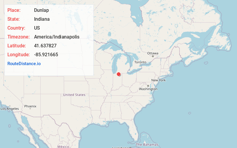
Full AddressDunlap, IN
-
Coordinates41.6378271, -85.9216645
-
LocationDunlap , Indiana , US
-
TimezoneAmerica/Indianapolis
-
Page Views0
About Dunlap
Dunlap is a census-designated place in Elkhart County, Indiana, United States. The population was 6,235 at the 2010 census. Once a small farming community, by the 1980s it had become a suburb of Elkhart and Goshen, Indiana.

Nearby Places
Found 10 places within 50 miles

Elkhart
4.3 mi
6.9 km
Elkhart, IN
Get directions

Goshen
5.6 mi
9.0 km
Goshen, IN
Get directions

Mishawaka
12.3 mi
19.8 km
Mishawaka, IN
Get directions

Granger
12.6 mi
20.3 km
Granger, IN
Get directions

Nappanee
14.0 mi
22.5 km
Nappanee, IN 46550
Get directions

South Bend
17.3 mi
27.8 km
South Bend, IN
Get directions

Niles
21.7 mi
34.9 km
Niles, MI 49120
Get directions

Three Rivers
25.9 mi
41.7 km
Three Rivers, MI 49093
Get directions

Warsaw
27.8 mi
44.7 km
Warsaw, IN
Get directions

Sturgis
28.2 mi
45.4 km
Sturgis, MI 49091
Get directions
Location Links
Local Weather
Weather Information
Coming soon!
Location Map
Static map view of Dunlap, Indiana
Browse Places by Distance
Places within specific distances from Dunlap
Short Distances
Long Distances
Click any distance to see all places within that range from Dunlap. Distances shown in miles (1 mile ≈ 1.61 kilometers).