Distance to Nappanee, Indiana

Calculating Your Route
Just a moment while we process your request...
Location Information
-
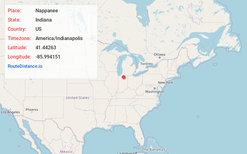
Full AddressNappanee, IN 46550
-
Coordinates41.4426304, -85.994151
-
LocationNappanee , Indiana , US
-
TimezoneAmerica/Indianapolis
-
Website
-
Page Views0
About Nappanee
Nappanee is a city in Elkhart and Kosciusko counties in the U.S. state of Indiana. The population was 6,648 as of the 2010 U.S. Census and had grown to 6,913 by the 2020 U.S. Census. The name Nappanee is thought to mean "flour" in the Algonquian language.


Nearby Places
Found 10 places within 50 miles

Goshen
13.1 mi
21.1 km
Goshen, IN
Get directions

Warsaw
15.9 mi
25.6 km
Warsaw, IN
Get directions

Elkhart
16.9 mi
27.2 km
Elkhart, IN
Get directions

Mishawaka
17.4 mi
28.0 km
Mishawaka, IN
Get directions

Plymouth
17.7 mi
28.5 km
Plymouth, IN 46563
Get directions

South Bend
20.9 mi
33.6 km
South Bend, IN
Get directions

Granger
22.3 mi
35.9 km
Granger, IN
Get directions

Niles
29.9 mi
48.1 km
Niles, MI 49120
Get directions

Columbia City
32.8 mi
52.8 km
Columbia City, IN 46725
Get directions

Kendallville
37.8 mi
60.8 km
Kendallville, IN 46755
Get directions
Location Links
Local Weather
Weather Information
Coming soon!
Location Map
Static map view of Nappanee, Indiana
Browse Places by Distance
Places within specific distances from Nappanee
Short Distances
Long Distances
Click any distance to see all places within that range from Nappanee. Distances shown in miles (1 mile ≈ 1.61 kilometers).