Distance to The Oxbow, Maine

Calculating Your Route
Just a moment while we process your request...
Location Information
-
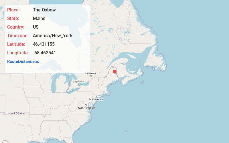
Full AddressThe Oxbow, Central Aroostook, ME 04764
-
Coordinates46.4311545, -68.4625413
-
LocationCentral Aroostook , Maine , US
-
TimezoneAmerica/New_York
-
Current Local Time6:05:18 PM America/New_YorkThursday, June 19, 2025
-
Page Views0
Nearby Places
Found 10 places within 50 miles

Masardis
7.0 mi
11.3 km
Masardis, ME 04732
Get directions

Garfield Plantation
14.5 mi
23.3 km
Garfield Plantation, ME 04732
Get directions
Ashland
16.3 mi
26.2 km
Ashland, ME 04732
Get directions
Moro
20.1 mi
32.3 km
Moro, ME
Get directions

Chapman
20.7 mi
33.3 km
Chapman, ME 04757
Get directions
Merrill
21.5 mi
34.6 km
Merrill, ME 04780
Get directions

Mapleton
22.5 mi
36.2 km
Mapleton, ME
Get directions
Castle Hill
22.9 mi
36.9 km
Castle Hill, ME
Get directions

Smyrna
24.6 mi
39.6 km
Smyrna, ME
Get directions
Hersey
24.8 mi
39.9 km
Hersey, ME
Get directions
Location Links
Local Weather
Weather Information
Coming soon!
Location Map
Static map view of The Oxbow, Maine
Browse Places by Distance
Places within specific distances from The Oxbow
Short Distances
Long Distances
Click any distance to see all places within that range from The Oxbow. Distances shown in miles (1 mile ≈ 1.61 kilometers).