Distance to and from The Plains, Virginia
The Plains, VA 20198
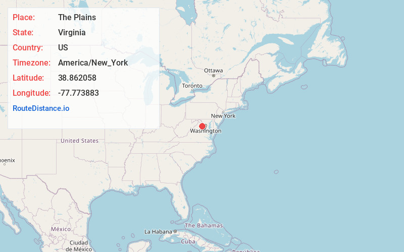
The Plains
Virginia
US
America/New_York
Location Information
-
Full AddressThe Plains, VA 20198
-
Coordinates38.8620578, -77.7738827
-
LocationThe Plains , Virginia , US
-
TimezoneAmerica/New_York
-
Current Local Time2:51:02 AM America/New_YorkSunday, May 4, 2025
-
Page Views0
Directions to Nearest Cities
About The Plains
The Plains is a small incorporated town in Fauquier County, Virginia, United States. The population was 245 as of the 2020 census, up from 217 at the 2010 census. It is centered on the intersection of VA 55 and VA 245. The town of The Plains is situated off I-66.


Nearby Places
Found 10 places within 50 miles

Marshall
4.4 mi
7.1 km
Marshall, VA
Get directions

New Baltimore
7.0 mi
11.3 km
New Baltimore, VA
Get directions

Middleburg
7.6 mi
12.2 km
Middleburg, VA 20117
Get directions

Haymarket
8.2 mi
13.2 km
Haymarket, VA
Get directions

Gainesville
9.8 mi
15.8 km
Gainesville, VA
Get directions

Warrenton
10.3 mi
16.6 km
Warrenton, VA
Get directions

Stone Ridge
12.6 mi
20.3 km
Stone Ridge, VA
Get directions
Arcola
14.3 mi
23.0 km
Arcola, VA
Get directions
Bull Run
14.7 mi
23.7 km
Bull Run, VA 20109
Get directions

South Riding
15.2 mi
24.5 km
South Riding, VA 20152
Get directions
Marshall
4.4 mi
7.1 km
Marshall, VA
New Baltimore
7.0 mi
11.3 km
New Baltimore, VA
Middleburg
7.6 mi
12.2 km
Middleburg, VA 20117
Haymarket
8.2 mi
13.2 km
Haymarket, VA
Gainesville
9.8 mi
15.8 km
Gainesville, VA
Warrenton
10.3 mi
16.6 km
Warrenton, VA
Stone Ridge
12.6 mi
20.3 km
Stone Ridge, VA
Arcola
14.3 mi
23.0 km
Arcola, VA
Bull Run
14.7 mi
23.7 km
Bull Run, VA 20109
South Riding
15.2 mi
24.5 km
South Riding, VA 20152
Location Links
Local Weather
Weather Information
Coming soon!
Location Map
Static map view of The Plains, Virginia
Browse Places by Distance
Places within specific distances from The Plains
Short Distances
Long Distances
Click any distance to see all places within that range from The Plains. Distances shown in miles (1 mile ≈ 1.61 kilometers).