Distance to The Ranch, Minnesota

Calculating Your Route
Just a moment while we process your request...
Location Information
-
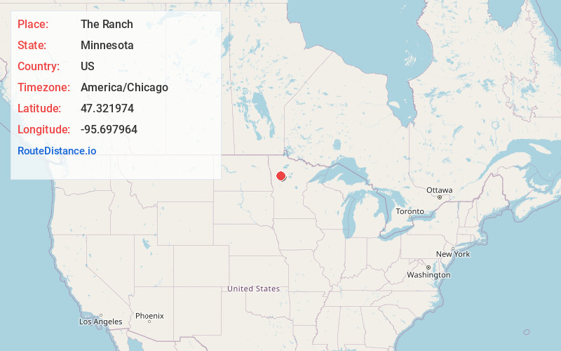
Full AddressThe Ranch, MN 56557
-
Coordinates47.321974, -95.6979644
-
LocationThe Ranch , Minnesota , US
-
TimezoneAmerica/Chicago
-
Current Local Time9:22:35 AM America/ChicagoWednesday, June 18, 2025
-
Page Views0
About The Ranch
The Ranch is a census-designated place in La Garde Township, Mahnomen County, Minnesota, United States. Its population was 14 as of the 2020 census.
Nearby Places
Found 10 places within 50 miles

West Roy Lake
4.8 mi
7.7 km
West Roy Lake, MN 56557
Get directions
Beaulieu
5.1 mi
8.2 km
Beaulieu, MN 56557
Get directions

Naytahwaush
5.3 mi
8.5 km
Naytahwaush, MN 56566
Get directions
Roy Lake
6.9 mi
11.1 km
Roy Lake, MN 56557
Get directions
Pine Bend
8.8 mi
14.2 km
Pine Bend, MN
Get directions
South End
10.1 mi
16.3 km
South End, MN 56621
Get directions
Mahnomen
12.5 mi
20.1 km
Mahnomen, MN 56557
Get directions

Lengby
13.8 mi
22.2 km
Lengby, MN 56651
Get directions

Ebro
14.4 mi
23.2 km
Ebro, MN 56621
Get directions

Waubun
14.9 mi
24.0 km
Waubun, MN 56589
Get directions
Location Links
Local Weather
Weather Information
Coming soon!
Location Map
Static map view of The Ranch, Minnesota
Browse Places by Distance
Places within specific distances from The Ranch
Short Distances
Long Distances
Click any distance to see all places within that range from The Ranch. Distances shown in miles (1 mile ≈ 1.61 kilometers).