Distance to Waubun, Minnesota

Calculating Your Route
Just a moment while we process your request...
Location Information
-
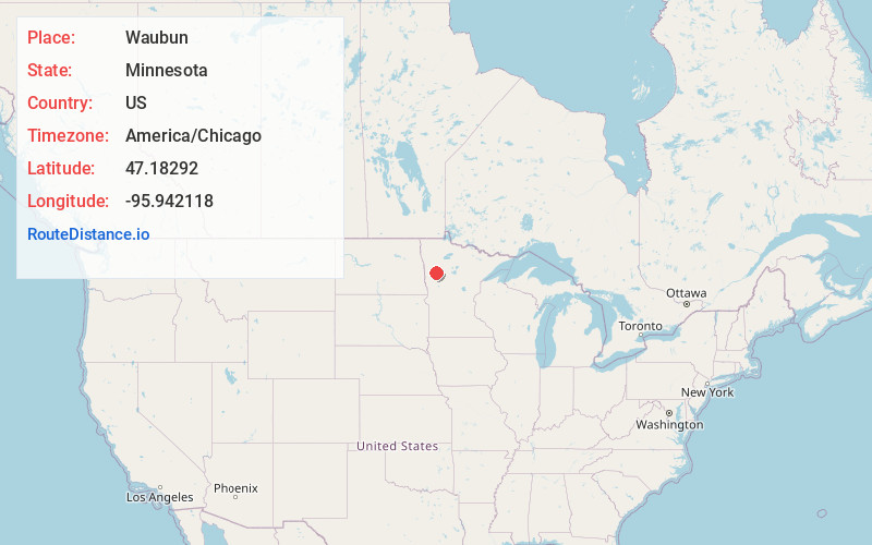
Full AddressWaubun, MN 56589
-
Coordinates47.1829202, -95.9421182
-
LocationWaubun , Minnesota , US
-
TimezoneAmerica/Chicago
-
Current Local Time12:08:11 AM America/ChicagoTuesday, June 3, 2025
-
Page Views0
About Waubun
Waubun is a city in Mahnomen County, Minnesota, United States. The population was 409 at the 2020 census.
U.S. Route 59 and Minnesota State Highway 113 are two of the main routes in the community.


Nearby Places
Found 10 places within 50 miles

White Earth
7.6 mi
12.2 km
White Earth, MN
Get directions

Mahnomen
9.3 mi
15.0 km
Mahnomen, MN 56557
Get directions

Twin Valley
15.8 mi
25.4 km
Twin Valley, MN 56584
Get directions

Naytahwaush
15.8 mi
25.4 km
Naytahwaush, MN 56566
Get directions

Ulen
16.5 mi
26.6 km
Ulen, MN 56585
Get directions

Lake Park
21.7 mi
34.9 km
Lake Park, MN 56554
Get directions

Audubon
22.2 mi
35.7 km
Audubon, MN 56511
Get directions

Detroit Lakes
25.7 mi
41.4 km
Detroit Lakes, MN 56501
Get directions

Hawley
27.3 mi
43.9 km
Hawley, MN 56549
Get directions

Ada
28.1 mi
45.2 km
Ada, MN 56510
Get directions
Location Links
Local Weather
Weather Information
Coming soon!
Location Map
Static map view of Waubun, Minnesota
Browse Places by Distance
Places within specific distances from Waubun
Short Distances
Long Distances
Click any distance to see all places within that range from Waubun. Distances shown in miles (1 mile ≈ 1.61 kilometers).