Distance to Theba, Alabama

Calculating Your Route
Just a moment while we process your request...
Location Information
-
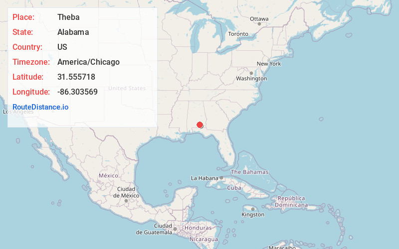
Full AddressTheba, AL 36009
-
Coordinates31.5557175, -86.3035686
-
LocationAlabama , US
-
TimezoneAmerica/Chicago
-
Current Local Time4:08:50 AM America/ChicagoSaturday, June 21, 2025
-
Page Views0
About Theba
Theba is an unincorporated community in Crenshaw County, Alabama, United States. Theba is located on U.S. Route 29, 3.3 miles southwest of Brantley.
Nearby Places
Found 10 places within 50 miles

Brantley
3.3 mi
5.3 km
Brantley, AL 36009
Get directions

Dozier
5.7 mi
9.2 km
Dozier, AL 36028
Get directions

Merrill Mill
6.4 mi
10.3 km
Merrill Mill, AL 36028
Get directions

Rose Hill
7.6 mi
12.2 km
Rose Hill, AL 36028
Get directions
Glenwood
10.8 mi
17.4 km
Glenwood, AL
Get directions

Luverne
11.4 mi
18.3 km
Luverne, AL 36049
Get directions

Rutledge
12.1 mi
19.5 km
Rutledge, AL
Get directions
Gantt
14.8 mi
23.8 km
Gantt, AL 36421
Get directions
Shady Grove
15.8 mi
25.4 km
Shady Grove, AL 36323
Get directions

Goshen
15.9 mi
25.6 km
Goshen, AL 36035
Get directions
Location Links
Local Weather
Weather Information
Coming soon!
Location Map
Static map view of Theba, Alabama
Browse Places by Distance
Places within specific distances from Theba
Short Distances
Long Distances
Click any distance to see all places within that range from Theba. Distances shown in miles (1 mile ≈ 1.61 kilometers).