Distance to Thomaston, Connecticut

Calculating Your Route
Just a moment while we process your request...
Location Information
-
Full AddressThomaston, CT
-
Coordinates41.6743343, -73.0724037
-
LocationThomaston , Connecticut , US
-
TimezoneAmerica/New_York
-
Current Local Time11:31:01 PM America/New_YorkTuesday, May 27, 2025
-
Website
-
Page Views0
About Thomaston
Thomaston is a town in Litchfield County, Connecticut, United States. The town is part of the Naugatuck Valley Planning Region. The population was 7,442 at the 2020 census. The urban center of the town is the Thomaston census-designated place, with a population of 1,928 at the 2020 census.


Nearby Places
Found 10 places within 50 miles

Hancock
3.6 mi
5.8 km
Hancock, Plymouth, CT 06786
Get directions
East Plymouth
4.0 mi
6.4 km
East Plymouth, Plymouth, CT 06786
Get directions

Watertown
5.3 mi
8.5 km
Watertown, CT
Get directions
East Morris
5.6 mi
9.0 km
East Morris, Morris, CT 06763
Get directions

Bristol
6.4 mi
10.3 km
Bristol, CT 06010
Get directions
East Litchfield
6.5 mi
10.5 km
East Litchfield, Litchfield, CT 06759
Get directions

Morris
6.6 mi
10.6 km
Morris, CT
Get directions

Wolcott
6.7 mi
10.8 km
Wolcott, CT 06716
Get directions

Harwinton
6.7 mi
10.8 km
Harwinton, CT 06791
Get directions

Bethlehem
7.3 mi
11.7 km
Bethlehem, CT
Get directions
Location Links
Local Weather
Weather Information
Coming soon!
Location Map
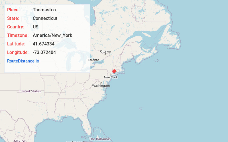
Static map view of Thomaston, Connecticut
Browse Places by Distance
Places within specific distances from Thomaston
Short Distances
Long Distances
Click any distance to see all places within that range from Thomaston. Distances shown in miles (1 mile ≈ 1.61 kilometers).