Distance to Thompsonville, Kansas

Calculating Your Route
Just a moment while we process your request...
Location Information
-
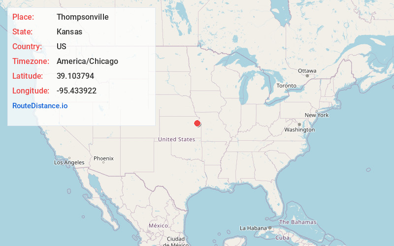
Full AddressThompsonville, KS 66073
-
Coordinates39.103794, -95.433922
-
LocationThompsonville , Kansas , US
-
TimezoneAmerica/Chicago
-
Current Local Time7:10:28 PM America/ChicagoSunday, June 1, 2025
-
Page Views0
About Thompsonville
Thompsonville is an unincorporated community in Jefferson County, Kansas, United States.
Nearby Places
Found 10 places within 50 miles

Kentucky Township
0.5 mi
0.8 km
Kentucky Township, KS
Get directions
Newman
2.3 mi
3.7 km
Newman, Kentucky Township, KS 66073
Get directions

Perry
2.9 mi
4.7 km
Perry, KS 66073
Get directions

Lecompton
4.6 mi
7.4 km
Lecompton, KS 66050
Get directions
Williamstown
6.1 mi
9.8 km
Williamstown, KS 66073
Get directions
Big Springs
6.8 mi
10.9 km
Big Springs, Lecompton Township, KS 66050
Get directions
Grantville
7.0 mi
11.3 km
Grantville, KS 66429
Get directions

Buck Creek
8.9 mi
14.3 km
Buck Creek, Rural Township, KS 66073
Get directions

Tecumseh
9.0 mi
14.5 km
Tecumseh, KS
Get directions

Ozawkie
9.1 mi
14.6 km
Ozawkie, KS
Get directions
Location Links
Local Weather
Weather Information
Coming soon!
Location Map
Static map view of Thompsonville, Kansas
Browse Places by Distance
Places within specific distances from Thompsonville
Short Distances
Long Distances
Click any distance to see all places within that range from Thompsonville. Distances shown in miles (1 mile ≈ 1.61 kilometers).