Distance to Thornton, Mississippi

Calculating Your Route
Just a moment while we process your request...
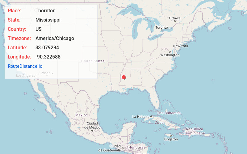
Location Information
-
Full AddressThornton, MS 39169
-
Coordinates33.0792941, -90.3225881
-
LocationThornton , Mississippi , US
-
TimezoneAmerica/Chicago
-
Current Local Time12:42:10 AM America/ChicagoFriday, May 30, 2025
-
Page Views0
About Thornton
Thornton, Mississippi is an unincorporated community located in Holmes County, near the Yazoo River. U.S. Highway 49E runs through the community, which is approximately 7 miles north of Eden and approximately 10 miles south of Tchula.
Nearby Places
Found 10 places within 50 miles

Eden
6.5 mi
10.5 km
Eden, MS 39194
Get directions
Shackleford
6.9 mi
11.1 km
Shackleford, MS 39169
Get directions

Tchula
9.2 mi
14.8 km
Tchula, MS 39169
Get directions
Silver City
10.2 mi
16.4 km
Silver City, MS
Get directions

Belzoni
12.1 mi
19.5 km
Belzoni, MS 39038
Get directions
Castleman
14.2 mi
22.9 km
Castleman, MS 39038
Get directions

Lexington
15.8 mi
25.4 km
Lexington, MS 39095
Get directions

Yazoo City
16.2 mi
26.1 km
Yazoo City, MS 39194
Get directions
Fordyke
16.5 mi
26.6 km
Fordyke, MS 39039
Get directions
Four Mile
16.8 mi
27.0 km
Four Mile, MS 39038
Get directions
Location Links
Local Weather
Weather Information
Coming soon!
Location Map
Static map view of Thornton, Mississippi
Browse Places by Distance
Places within specific distances from Thornton
Short Distances
Long Distances
Click any distance to see all places within that range from Thornton. Distances shown in miles (1 mile ≈ 1.61 kilometers).