Distance to Thornton, Washington

Calculating Your Route
Just a moment while we process your request...
Location Information
-
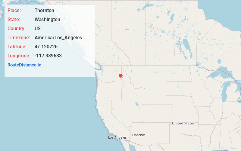
Full AddressThornton, WA 99176
-
Coordinates47.1207257, -117.3896325
-
LocationThornton , Washington , US
-
TimezoneAmerica/Los_Angeles
-
Current Local Time12:55:27 PM America/Los_AngelesThursday, May 22, 2025
-
Page Views0
About Thornton
Thornton is an unincorporated community in Whitman County, Washington, United States. Founded in 1889 by P.M. Sheehan, Thornton is located near U.S. Route 195, 7 miles west of Oakesdale. Thornton had a post office with ZIP code 99176.
Nearby Places
Found 10 places within 50 miles

Oakesdale
6.9 mi
11.1 km
Oakesdale, WA 99158
Get directions

Rosalia
8.0 mi
12.9 km
Rosalia, WA 99170
Get directions

Steptoe
8.1 mi
13.0 km
Steptoe, WA 99111
Get directions

Malden
8.4 mi
13.5 km
Malden, WA
Get directions

St John
9.3 mi
15.0 km
St John, WA 99171
Get directions
Belmont
10.9 mi
17.5 km
Belmont, WA 99158
Get directions
Manning
13.1 mi
21.1 km
Manning, WA 99111
Get directions

Garfield
14.1 mi
22.7 km
Garfield, WA 99130
Get directions
Diamond
14.8 mi
23.8 km
Diamond, WA 99111
Get directions

Latah
15.6 mi
25.1 km
Latah, WA 99018
Get directions
Location Links
Local Weather
Weather Information
Coming soon!
Location Map
Static map view of Thornton, Washington
Browse Places by Distance
Places within specific distances from Thornton
Short Distances
Long Distances
Click any distance to see all places within that range from Thornton. Distances shown in miles (1 mile ≈ 1.61 kilometers).