Distance to Tiff, Missouri

Calculating Your Route
Just a moment while we process your request...
Location Information
-
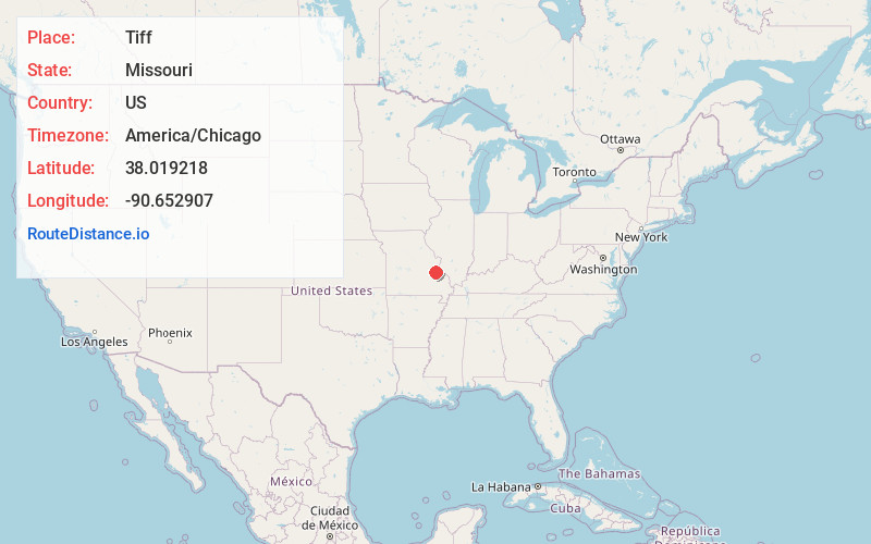
Full AddressTiff, MO 63674
-
Coordinates38.0192178, -90.6529066
-
LocationTiff , Missouri , US
-
TimezoneAmerica/Chicago
-
Current Local Time11:10:42 AM America/ChicagoMonday, June 23, 2025
-
Page Views0
About Tiff
Tiff is an unincorporated community in eastern Washington County, Missouri, United States. It is located approximately eight miles northeast of Potosi. The community was named for the barite ore found here, also known as "tiff".
Nearby Places
Found 10 places within 50 miles

Blackwell
2.3 mi
3.7 km
Blackwell, MO 63626
Get directions

Shibboleth
3.0 mi
4.8 km
Shibboleth, Union Township, MO 63630
Get directions
Cannon Mines
3.4 mi
5.5 km
Cannon Mines, MO 63630
Get directions
Happy Hollow
4.1 mi
6.6 km
Happy Hollow, Union Township, MO 63630
Get directions
Melzo
4.6 mi
7.4 km
Melzo, MO 63020
Get directions
Mud Town
4.7 mi
7.6 km
Mud Town, Union Township, MO 63630
Get directions
Old Mines
5.6 mi
9.0 km
Old Mines, MO 63630
Get directions
Vineland
5.7 mi
9.2 km
Vineland, Valle Township, MO 63020
Get directions
Racola
5.7 mi
9.2 km
Racola, Union Township, MO 63630
Get directions
Cruise Mill
6.2 mi
10.0 km
Cruise Mill, Kingston Township, MO 63630
Get directions
Location Links
Local Weather
Weather Information
Coming soon!
Location Map
Static map view of Tiff, Missouri
Browse Places by Distance
Places within specific distances from Tiff
Short Distances
Long Distances
Click any distance to see all places within that range from Tiff. Distances shown in miles (1 mile ≈ 1.61 kilometers).