Distance to Tiger Fork, Missouri

Calculating Your Route
Just a moment while we process your request...
Location Information
-
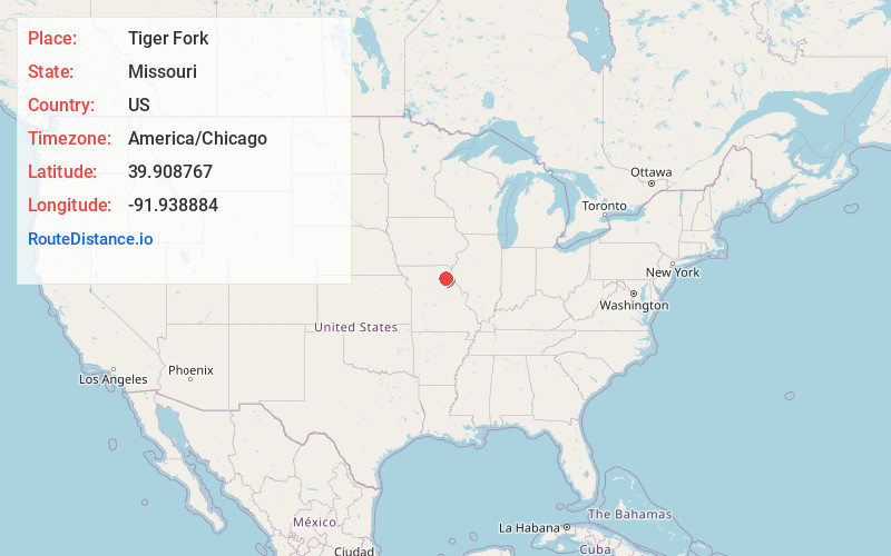
Full AddressTiger Fork, Missouri
-
Coordinates39.908767, -91.9388837
-
LocationMissouri , US
-
TimezoneAmerica/Chicago
-
Current Local Time12:14:39 AM America/ChicagoFriday, June 20, 2025
-
Page Views0
Nearby Places
Found 10 places within 50 miles

Burksville
3.4 mi
5.5 km
Burksville, Tiger Fork Township, MO 63469
Get directions
Hebron
5.0 mi
8.0 km
Hebron, MO 63469
Get directions

Bethel
5.0 mi
8.0 km
Bethel, MO
Get directions
Steffenville
5.2 mi
8.4 km
Steffenville, MO 63447
Get directions
Newark
6.1 mi
9.8 km
Newark, MO 63458
Get directions
Nelsonville
7.6 mi
12.2 km
Nelsonville, MO 63440
Get directions
Epworth
8.3 mi
13.4 km
Epworth, Bethel Township, MO 63469
Get directions
Emden
8.7 mi
14.0 km
Emden, MO 63439
Get directions
Shelbyville
9.0 mi
14.5 km
Shelbyville, MO 63469
Get directions
Plevna
9.0 mi
14.5 km
Plevna, MO 63469
Get directions
Location Links
Local Weather
Weather Information
Coming soon!
Location Map
Static map view of Tiger Fork, Missouri
Browse Places by Distance
Places within specific distances from Tiger Fork
Short Distances
Long Distances
Click any distance to see all places within that range from Tiger Fork. Distances shown in miles (1 mile ≈ 1.61 kilometers).