Distance to Tillamook State Forest, Oregon

Calculating Your Route
Just a moment while we process your request...
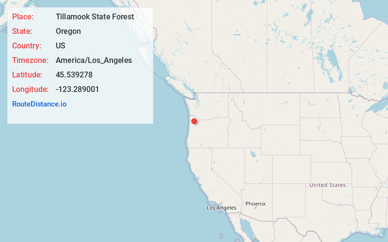
Location Information
-
Full AddressTillamook State Forest, Oregon 97119
-
Coordinates45.5392779, -123.289001
-
LocationOregon , US
-
TimezoneAmerica/Los_Angeles
-
Current Local Time11:42:08 PM America/Los_AngelesThursday, June 19, 2025
-
Page Views0
About Tillamook State Forest
Publicly owned forest used for commercial logging, hiking, backpacking, biking & horseback riding.


Nearby Places
Found 10 places within 50 miles

Gales Creek
4.8 mi
7.7 km
Gales Creek, OR 97117
Get directions

Balm Grove
5.2 mi
8.4 km
Balm Grove, OR 97117
Get directions

Watts
5.8 mi
9.3 km
Watts, OR 97116
Get directions
Hillside
5.9 mi
9.5 km
Hillside, OR 97116
Get directions
Cherry Grove
6.7 mi
10.8 km
Cherry Grove, OR 97119
Get directions
Stimson Millpond
7.0 mi
11.3 km
Stimson Millpond, Oregon 97119
Get directions

Kansas City
8.0 mi
12.9 km
Kansas City, OR 97116
Get directions
Hayward
8.1 mi
13.0 km
Hayward, OR 97106
Get directions

Forest Grove
8.7 mi
14.0 km
Forest Grove, OR 97116
Get directions
Dilley
8.7 mi
14.0 km
Dilley, OR 97116
Get directions
Location Links
Local Weather
Weather Information
Coming soon!
Location Map
Static map view of Tillamook State Forest, Oregon
Browse Places by Distance
Places within specific distances from Tillamook State Forest
Short Distances
Long Distances
Click any distance to see all places within that range from Tillamook State Forest. Distances shown in miles (1 mile ≈ 1.61 kilometers).