Distance to Tionesta, California

Calculating Your Route
Just a moment while we process your request...
Location Information
-
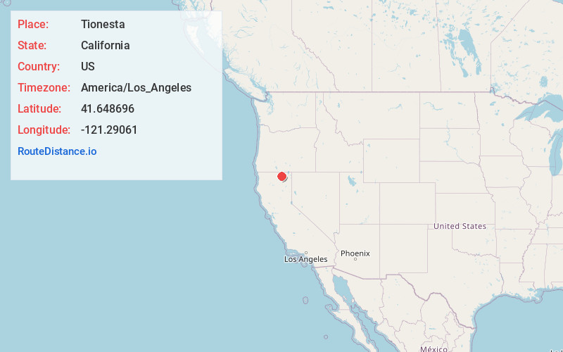
Full AddressTionesta, CA 96134
-
Coordinates41.6486956, -121.29061
-
LocationTionesta , California , US
-
TimezoneAmerica/Los_Angeles
-
Current Local Time6:31:05 AM America/Los_AngelesSunday, June 15, 2025
-
Page Views0
About Tionesta
Tionesta is an unincorporated community in Modoc County, California. It is located on the former Great Northern Railway Bieber Line, 2 miles northwest of Timber Mountain, at an elevation of 4278 feet.
Tionesta has feature ID 1660004 in the U.S. Geological Survey, National Geographic Names database.
Nearby Places
Found 10 places within 50 miles

Perez
2.7 mi
4.3 km
Perez, CA
Get directions
Kephart
4.3 mi
6.9 km
Kephart, CA
Get directions
Meares
5.2 mi
8.4 km
Meares, CA
Get directions
Hackamore
11.0 mi
17.7 km
Hackamore, CA
Get directions
Boles
14.2 mi
22.9 km
Boles, CA
Get directions
Liskey
15.1 mi
24.3 km
Liskey, CA 96134
Get directions
Copic
15.2 mi
24.5 km
Copic, CA 96134
Get directions
Scarface
16.4 mi
26.4 km
Scarface, CA
Get directions

Newell
16.9 mi
27.2 km
Newell, CA 96134
Get directions
Staley
17.2 mi
27.7 km
Staley, CA 96134
Get directions
Location Links
Local Weather
Weather Information
Coming soon!
Location Map
Static map view of Tionesta, California
Browse Places by Distance
Places within specific distances from Tionesta
Short Distances
Long Distances
Click any distance to see all places within that range from Tionesta. Distances shown in miles (1 mile ≈ 1.61 kilometers).