Distance to Toad Suck, Arkansas

Calculating Your Route
Just a moment while we process your request...
Location Information
-
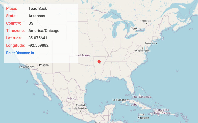
Full AddressToad Suck, AR 72016
-
Coordinates35.0756411, -92.5598824
-
LocationArkansas , US
-
TimezoneAmerica/Chicago
-
Current Local Time8:25:04 PM America/ChicagoWednesday, June 18, 2025
-
Page Views0
About Toad Suck
Toad Suck is an unincorporated community in Perry County, Arkansas, United States. It is the location of Bigelow Rosenwald School, which is located at the junction of Arkansas Highway 60 and Bethel AME Road and is listed on the National Register of Historic Places.
The origin of the name Toad Suck is disputed.

Nearby Places
Found 10 places within 50 miles

Stony Point
2.5 mi
4.0 km
Stony Point, AR 72070
Get directions
New Dixie
3.7 mi
6.0 km
New Dixie, AR 72016
Get directions

Menifee
5.1 mi
8.2 km
Menifee, AR
Get directions
Lollie
6.2 mi
10.0 km
Lollie, AR 72106
Get directions
Bigelow
6.5 mi
10.5 km
Bigelow, AR 72016
Get directions
Fourche
6.6 mi
10.6 km
Fourche, AR 72016
Get directions

Conway
7.1 mi
11.4 km
Conway, AR
Get directions
Plumerville
7.4 mi
11.9 km
Plumerville, AR 72127
Get directions

Houston
8.1 mi
13.0 km
Houston, AR 72070
Get directions
Ledwidge
8.2 mi
13.2 km
Ledwidge, AR 72016
Get directions
Location Links
Local Weather
Weather Information
Coming soon!
Location Map
Static map view of Toad Suck, Arkansas
Browse Places by Distance
Places within specific distances from Toad Suck
Short Distances
Long Distances
Click any distance to see all places within that range from Toad Suck. Distances shown in miles (1 mile ≈ 1.61 kilometers).