Distance to Todd, North Carolina

Calculating Your Route
Just a moment while we process your request...
Location Information
-
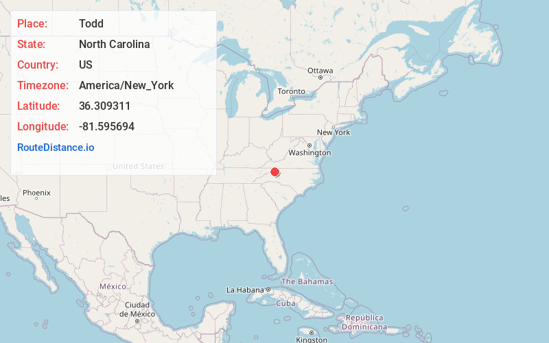
Full AddressTodd, NC 28684
-
Coordinates36.3093112, -81.5956937
-
LocationTodd , North Carolina , US
-
TimezoneAmerica/New_York
-
Current Local Time6:18:13 AM America/New_YorkMonday, June 2, 2025
-
Website
-
Page Views0
About Todd
Todd is an unincorporated community straddling the county lines of Watauga and Ashe counties in northwestern North Carolina, United States on the South Fork of the New River. It lies at an elevation of 2,992 feet. The population was 2,141 at the 2010 United States Census. The ZIP Code for Todd is 28684.


Nearby Places
Found 10 places within 50 miles

Solo
2.2 mi
3.5 km
Solo, NC 28607
Get directions
Woodford
2.5 mi
4.0 km
Woodford, NC 28684
Get directions
Brownwood
3.2 mi
5.1 km
Brownwood, NC 28684
Get directions
Soda Hill
3.3 mi
5.3 km
Soda Hill, NC 28607
Get directions
Toliver
4.1 mi
6.6 km
Toliver, NC 28684
Get directions
Baldwin
4.4 mi
7.1 km
Baldwin, NC 28684
Get directions

Meat Camp
4.5 mi
7.2 km
Meat Camp, NC 28684
Get directions

Fleetwood
4.6 mi
7.4 km
Fleetwood, NC 28626
Get directions
Sands
5.0 mi
8.0 km
Sands, NC 28607
Get directions
Pottertown
5.2 mi
8.4 km
Pottertown, NC 28684
Get directions
Location Links
Local Weather
Weather Information
Coming soon!
Location Map
Static map view of Todd, North Carolina
Browse Places by Distance
Places within specific distances from Todd
Short Distances
Long Distances
Click any distance to see all places within that range from Todd. Distances shown in miles (1 mile ≈ 1.61 kilometers).