Distance to and from Brownwood, North Carolina
Brownwood, NC 28684
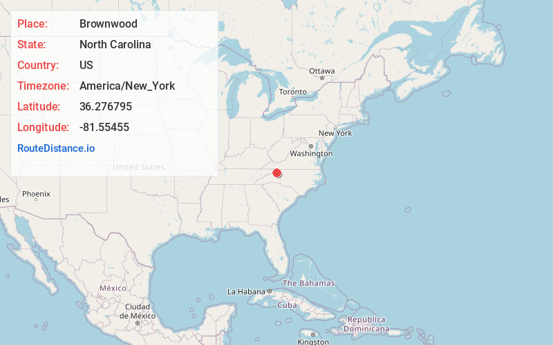
Brownwood
North Carolina
US
America/New_York
Location Information
-
Full AddressBrownwood, NC 28684
-
Coordinates36.2767945, -81.5545496
-
LocationBrownwood , North Carolina , US
-
TimezoneAmerica/New_York
-
Current Local Time7:54:04 PM America/New_YorkSaturday, May 3, 2025
-
Page Views0
Directions to Nearest Cities
Nearby Places
Found 10 places within 50 miles

Baldwin
5.0 mi
8.0 km
Baldwin, NC 28684
Get directions

Boone
8.2 mi
13.2 km
Boone, NC
Get directions

West Jefferson
9.4 mi
15.1 km
West Jefferson, NC
Get directions

Obids
9.6 mi
15.4 km
Obids, NC 28694
Get directions
Mt Zion
10.5 mi
16.9 km
Mt Zion, NC 28624
Get directions

Jefferson
10.9 mi
17.5 km
Jefferson, NC 28640
Get directions

Blowing Rock
12.0 mi
19.3 km
Blowing Rock, NC
Get directions

Valle Crucis
13.3 mi
21.4 km
Valle Crucis, NC
Get directions
Forest Grove
14.2 mi
22.9 km
Forest Grove, NC 28692
Get directions

Foscoe
14.2 mi
22.9 km
Foscoe, NC
Get directions
Baldwin
5.0 mi
8.0 km
Baldwin, NC 28684
Boone
8.2 mi
13.2 km
Boone, NC
West Jefferson
9.4 mi
15.1 km
West Jefferson, NC
Obids
9.6 mi
15.4 km
Obids, NC 28694
Mt Zion
10.5 mi
16.9 km
Mt Zion, NC 28624
Jefferson
10.9 mi
17.5 km
Jefferson, NC 28640
Blowing Rock
12.0 mi
19.3 km
Blowing Rock, NC
Valle Crucis
13.3 mi
21.4 km
Valle Crucis, NC
Forest Grove
14.2 mi
22.9 km
Forest Grove, NC 28692
Foscoe
14.2 mi
22.9 km
Foscoe, NC
Location Links
Local Weather
Weather Information
Coming soon!
Location Map
Static map view of Brownwood, North Carolina
Browse Places by Distance
Places within specific distances from Brownwood
Short Distances
Long Distances
Click any distance to see all places within that range from Brownwood. Distances shown in miles (1 mile ≈ 1.61 kilometers).