Distance to Blowing Rock, North Carolina

Calculating Your Route
Just a moment while we process your request...
Location Information
-
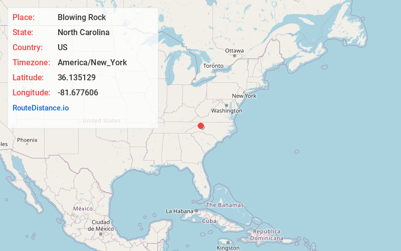
Full AddressBlowing Rock, NC
-
Coordinates36.135129, -81.6776059
-
LocationBlowing Rock , North Carolina , US
-
TimezoneAmerica/New_York
-
Current Local Time5:18:34 AM America/New_YorkWednesday, June 18, 2025
-
Website
-
Page Views0
About Blowing Rock
Blowing Rock is a village in western North Carolina on scenic Blue Ridge Parkway. It’s named after The Blowing Rock, a formation with sweeping views of peaks, forests and the Johns River Gorge. Blowing Rock Art & History Museum has regional artwork. The vast Moses H. Cone Memorial Park is a preserved country estate with a 1901 mansion. A trail from Annie Cannon Gardens leads to Glen Burney and Glen Marie waterfalls.


Nearby Places
Found 10 places within 50 miles

Foscoe
5.2 mi
8.4 km
Foscoe, NC
Get directions

Boone
5.7 mi
9.2 km
Boone, NC
Get directions

Banner Elk
11.0 mi
17.7 km
Banner Elk, NC 28604
Get directions

Lenoir
17.1 mi
27.5 km
Lenoir, NC
Get directions

Gamewell
18.9 mi
30.4 km
Gamewell, NC 28645
Get directions

West Jefferson
21.2 mi
34.1 km
West Jefferson, NC
Get directions
Cajah's Mountain
21.4 mi
34.4 km
Cajah's Mountain, NC
Get directions
Hudson
22.3 mi
35.9 km
Hudson, NC
Get directions

Roan Mountain
22.5 mi
36.2 km
Roan Mountain, TN 37687
Get directions

Jefferson
22.8 mi
36.7 km
Jefferson, NC 28640
Get directions
Location Links
Local Weather
Weather Information
Coming soon!
Location Map
Static map view of Blowing Rock, North Carolina
Browse Places by Distance
Places within specific distances from Blowing Rock
Short Distances
Long Distances
Click any distance to see all places within that range from Blowing Rock. Distances shown in miles (1 mile ≈ 1.61 kilometers).