Distance to Tohatchi, New Mexico

Calculating Your Route
Just a moment while we process your request...
Location Information
-
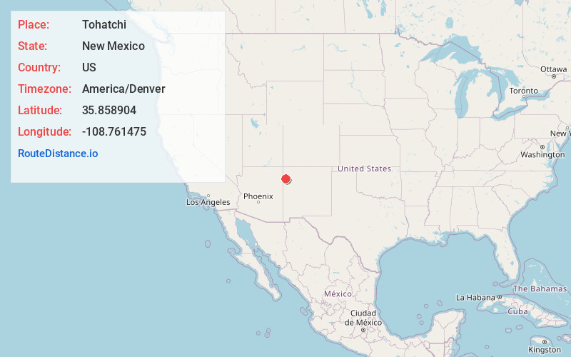
Full AddressTohatchi, NM 87325
-
Coordinates35.8589039, -108.7614749
-
LocationTohatchi , New Mexico , US
-
TimezoneAmerica/Denver
-
Current Local Time4:25:35 AM America/DenverSaturday, June 21, 2025
-
Page Views0
About Tohatchi
Tohatchi is a census-designated place in McKinley County, New Mexico, United States. It is a health-services and education hub along Highway 491. Its population was reported to be 785 at the 2020 census. As Tohatchi is located on the Navajo Nation, it is designated federal trust land.


Nearby Places
Found 10 places within 50 miles

Twin Lakes
10.4 mi
16.7 km
Twin Lakes, NM
Get directions

Yah-Ta-Hey
16.0 mi
25.7 km
Yah-Ta-Hey, NM
Get directions
Rock Springs
17.6 mi
28.3 km
Rock Springs, NM
Get directions

Fort Defiance
19.3 mi
31.1 km
Fort Defiance, AZ 86504
Get directions

Gamerco
19.8 mi
31.9 km
Gamerco, NM 87301
Get directions

Window Rock
20.5 mi
33.0 km
Window Rock, AZ
Get directions

Sawmill
22.8 mi
36.7 km
Sawmill, AZ 86504
Get directions
St Michaels
23.9 mi
38.5 km
St Michaels, AZ 86511
Get directions

Church Rock
24.2 mi
38.9 km
Church Rock, NM
Get directions

Pinedale
24.9 mi
40.1 km
Pinedale, NM 87311
Get directions
Location Links
Local Weather
Weather Information
Coming soon!
Location Map
Static map view of Tohatchi, New Mexico
Browse Places by Distance
Places within specific distances from Tohatchi
Short Distances
Long Distances
Click any distance to see all places within that range from Tohatchi. Distances shown in miles (1 mile ≈ 1.61 kilometers).