Distance to Toivola, Minnesota

Calculating Your Route
Just a moment while we process your request...
Location Information
-
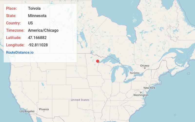
Full AddressToivola, MN 55765
-
Coordinates47.1668822, -92.8110279
-
LocationToivola , Minnesota , US
-
TimezoneAmerica/Chicago
-
Current Local Time7:43:34 PM America/ChicagoWednesday, June 18, 2025
-
Page Views0
About Toivola
Toivola is an unincorporated community in Toivola Township, Saint Louis County, Minnesota, United States.
The community is located near Meadowlands at the junction of Saint Louis County Highway 5 and County Road 52.
Sand Creek flows through the community. The Saint Louis River is nearby.
Nearby Places
Found 10 places within 50 miles

Meadowlands
7.5 mi
12.1 km
Meadowlands, MN 55765
Get directions

Dumblane
9.3 mi
15.0 km
Dumblane, MN 55724
Get directions
Kelsey
10.0 mi
16.1 km
Kelsey, MN 55724
Get directions
Sax
10.4 mi
16.7 km
Sax, MN 55738
Get directions
Payne
11.1 mi
17.9 km
Payne, MN 55765
Get directions
Silica
11.9 mi
19.2 km
Silica, MN 55746
Get directions

Zim
13.7 mi
22.0 km
Zim, MN 55738
Get directions
Bengal
13.9 mi
22.4 km
Bengal, MN 55746
Get directions
Goodland
15.3 mi
24.6 km
Goodland, MN 55742
Get directions
Maney
15.5 mi
24.9 km
Maney, MN 55702
Get directions
Location Links
Local Weather
Weather Information
Coming soon!
Location Map
Static map view of Toivola, Minnesota
Browse Places by Distance
Places within specific distances from Toivola
Short Distances
Long Distances
Click any distance to see all places within that range from Toivola. Distances shown in miles (1 mile ≈ 1.61 kilometers).