Distance to Tonalea, Arizona

Calculating Your Route
Just a moment while we process your request...
Location Information
-
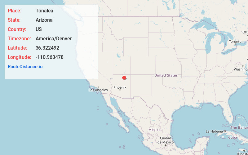
Full AddressTonalea, AZ 86044
-
Coordinates36.3224923, -110.9634781
-
LocationTonalea , Arizona , US
-
TimezoneAmerica/Denver
-
Current Local Time5:55:36 PM America/DenverThursday, June 12, 2025
-
Page Views0
About Tonalea
Tonalea is a census-designated place in Coconino County, Arizona, United States. The population was 549 at the 2010 census. It has also been known as Red Lake.


Nearby Places
Found 10 places within 50 miles

Red Lake
0.8 mi
1.3 km
Red Lake, Tonalea, AZ 86044
Get directions

Kaibito
19.2 mi
30.9 km
Kaibito, AZ 86053
Get directions

Tuba City
20.1 mi
32.3 km
Tuba City, AZ 86045
Get directions

Moenkopi
20.5 mi
33.0 km
Moenkopi, AZ 86045
Get directions

Shonto
25.0 mi
40.2 km
Shonto, AZ 86054
Get directions

Bacavi
32.2 mi
51.8 km
Bacavi, Hotevilla-Bacavi, AZ 86030
Get directions

Kykotsmovi Village
36.3 mi
58.4 km
Kykotsmovi Village, AZ
Get directions

Cameron
39.8 mi
64.1 km
Cameron, AZ 86020
Get directions
Shongopovi
42.3 mi
68.1 km
Shongopovi, AZ 86043
Get directions

Bitter Springs
43.8 mi
70.5 km
Bitter Springs, AZ
Get directions
Location Links
Local Weather
Weather Information
Coming soon!
Location Map
Static map view of Tonalea, Arizona
Browse Places by Distance
Places within specific distances from Tonalea
Short Distances
Long Distances
Click any distance to see all places within that range from Tonalea. Distances shown in miles (1 mile ≈ 1.61 kilometers).