Distance to Topins Grove, West Virginia

Calculating Your Route
Just a moment while we process your request...
Location Information
-
Full AddressTopins Grove, WV 26164
-
Coordinates39.0514679, -81.7070741
-
LocationWest Virginia , US
-
TimezoneAmerica/New_York
-
Current Local Time5:43:16 PM America/New_YorkTuesday, June 24, 2025
-
Page Views0
About Topins Grove
Topins Grove is an unincorporated community in Jackson County, West Virginia, United States. Topins Grove is located on Little Pond Creek and County Highway 6, 7.7 miles north-northeast of Ravenswood. Topins Grove once had a post office, which is now closed.
Nearby Places
Found 10 places within 50 miles

Long Bottom
5.7 mi
9.2 km
Long Bottom, OH 45743
Get directions
Wilding
7.2 mi
11.6 km
Wilding, WV 26164
Get directions

Ravenswood
7.7 mi
12.4 km
Ravenswood, WV 26164
Get directions
Hockingport
9.8 mi
15.8 km
Hockingport, OH
Get directions

Tuppers Plains
11.0 mi
17.7 km
Tuppers Plains, OH
Get directions

Racine
12.4 mi
20.0 km
Racine, OH 45771
Get directions

Coolville
12.7 mi
20.4 km
Coolville, OH 45723
Get directions
Meigs
12.9 mi
20.8 km
Meigs, OH 45772
Get directions

Lubeck
13.3 mi
21.4 km
Lubeck, WV
Get directions

Washington
13.6 mi
21.9 km
Washington, WV 26181
Get directions
Location Links
Local Weather
Weather Information
Coming soon!
Location Map
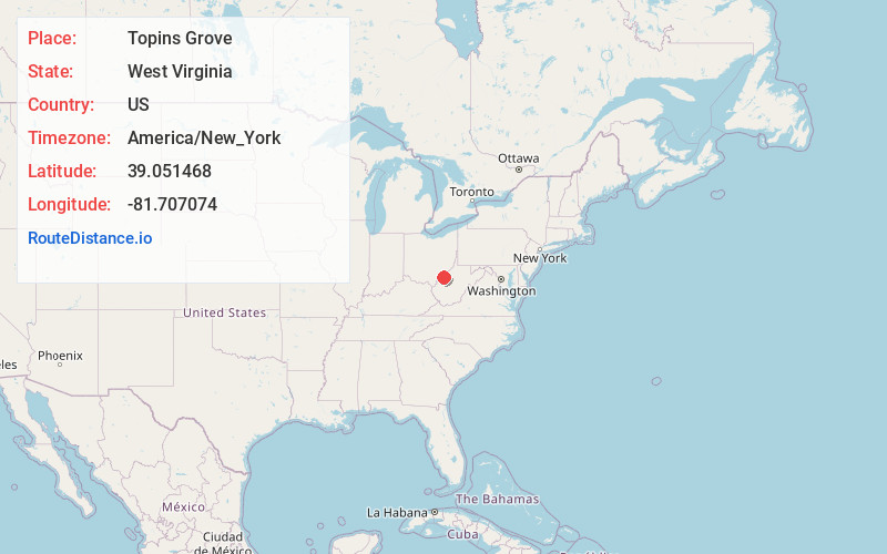
Static map view of Topins Grove, West Virginia
Browse Places by Distance
Places within specific distances from Topins Grove
Short Distances
Long Distances
Click any distance to see all places within that range from Topins Grove. Distances shown in miles (1 mile ≈ 1.61 kilometers).