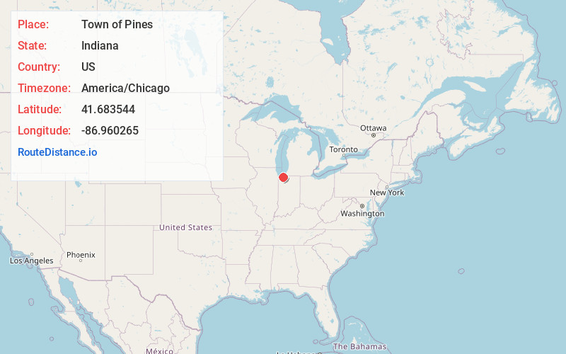
Distance to Town of Pines, Indiana

Calculating Your Route
Just a moment while we process your request...
Location Information
-
Full AddressTown of Pines, IN 46360
-
Coordinates41.6835437, -86.9602647
-
LocationTown of Pines , Indiana , US
-
TimezoneAmerica/Chicago
-
Current Local Time12:34:57 AM America/ChicagoSunday, June 8, 2025
-
Page Views0
About Town of Pines
Town of Pines is a town in Pine Township, Porter County, in the U.S. state of Indiana. The population was 594 as of the 2020 census.


Nearby Places
Found 10 places within 50 miles

Michigan City
3.8 mi
6.1 km
Michigan City, IN 46360
Get directions

Indiana Dunes National Park
5.2 mi
8.4 km
Indiana Dunes National Park, Porter, IN 46304
Get directions

Trail Creek
5.3 mi
8.5 km
Trail Creek, IN 46360
Get directions

Long Beach
6.6 mi
10.6 km
Long Beach, IN 46360
Get directions

Chesterton
7.4 mi
11.9 km
Chesterton, IN 46304
Get directions

Burns Harbor
9.8 mi
15.8 km
Burns Harbor, IN
Get directions

Westville
10.3 mi
16.6 km
Westville, IN
Get directions

Ogden Dunes
12.7 mi
20.4 km
Ogden Dunes, IN
Get directions

La Porte
13.2 mi
21.2 km
La Porte, IN 46350
Get directions

South Haven
13.4 mi
21.6 km
South Haven, IN 46385
Get directions
Location Links
Local Weather
Weather Information
Coming soon!
Location Map
Static map view of Town of Pines, Indiana
Browse Places by Distance
Places within specific distances from Town of Pines
Short Distances
Long Distances
Click any distance to see all places within that range from Town of Pines. Distances shown in miles (1 mile ≈ 1.61 kilometers).