Distance to Townley, Indiana

Calculating Your Route
Just a moment while we process your request...
Location Information
-
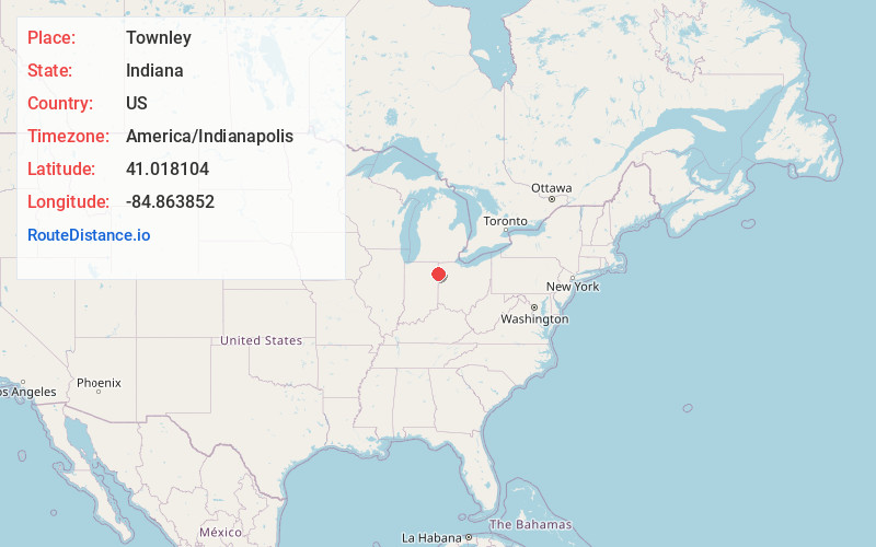
Full AddressTownley, IN 46773
-
Coordinates41.0181042, -84.8638524
-
LocationTownley , Indiana , US
-
TimezoneAmerica/Indianapolis
-
Page Views0
About Townley
Townley is an unincorporated community in Jackson Township, Allen County, in the U.S. state of Indiana.
Nearby Places
Found 10 places within 50 miles

Tillman
1.6 mi
2.6 km
Tillman, IN 46773
Get directions

Monroeville
3.0 mi
4.8 km
Monroeville, IN 46773
Get directions
Baldwin
3.2 mi
5.1 km
Baldwin, Benton Township, OH 45880
Get directions
Maples
5.5 mi
8.9 km
Maples, IN 46816
Get directions
Batson
6.2 mi
10.0 km
Batson, Benton Township, OH 45880
Get directions
Logtown
6.2 mi
10.0 km
Logtown, OH 45880
Get directions

Woodburn
7.4 mi
11.9 km
Woodburn, IN 46797
Get directions

Payne
8.2 mi
13.2 km
Payne, OH 45880
Get directions
Hoagland
8.3 mi
13.4 km
Hoagland, IN 46745
Get directions

New Haven
8.6 mi
13.8 km
New Haven, IN
Get directions
Location Links
Local Weather
Weather Information
Coming soon!
Location Map
Static map view of Townley, Indiana
Browse Places by Distance
Places within specific distances from Townley
Short Distances
Long Distances
Click any distance to see all places within that range from Townley. Distances shown in miles (1 mile ≈ 1.61 kilometers).