Distance to Townsend, Georgia

Calculating Your Route
Just a moment while we process your request...
Location Information
-
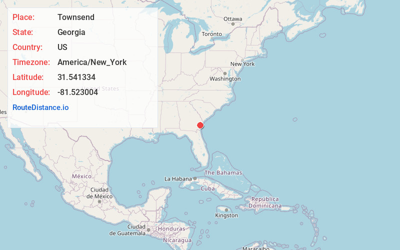
Full AddressTownsend, GA 31331
-
Coordinates31.5413343, -81.5230042
-
LocationTownsend , Georgia , US
-
TimezoneAmerica/New_York
-
Current Local Time4:27:24 AM America/New_YorkFriday, June 20, 2025
-
Page Views0
About Townsend
Townsend is an unincorporated community in McIntosh County, Georgia, United States. It lies along State Route 57 northwest of the city of Darien, the county seat. Its elevation is 20 feet. It has a post office with the ZIP code 31331.


Nearby Places
Found 10 places within 50 miles

Eulonia
5.7 mi
9.2 km
Eulonia, GA 31331
Get directions

Bellville Point
9.3 mi
15.0 km
Bellville Point, Crescent, GA 31331
Get directions

Crescent
9.3 mi
15.0 km
Crescent, GA 31331
Get directions
Everett
12.5 mi
20.1 km
Everett, GA
Get directions

Darien
12.9 mi
20.8 km
Darien, GA
Get directions

Riceboro
14.5 mi
23.3 km
Riceboro, GA 31323
Get directions
Gardi
16.2 mi
26.1 km
Gardi, GA 31546
Get directions

Ludowici
17.3 mi
27.8 km
Ludowici, GA 31316
Get directions
Walthourville
17.3 mi
27.8 km
Walthourville, GA
Get directions
Allenhurst
17.6 mi
28.3 km
Allenhurst, GA
Get directions
Location Links
Local Weather
Weather Information
Coming soon!
Location Map
Static map view of Townsend, Georgia
Browse Places by Distance
Places within specific distances from Townsend
Short Distances
Long Distances
Click any distance to see all places within that range from Townsend. Distances shown in miles (1 mile ≈ 1.61 kilometers).