Distance to Darien, Georgia

Calculating Your Route
Just a moment while we process your request...
Location Information
-
Full AddressDarien, GA
-
Coordinates31.3702255, -81.4339903
-
LocationDarien , Georgia , US
-
TimezoneAmerica/New_York
-
Current Local Time2:25:45 AM America/New_YorkTuesday, July 1, 2025
-
Page Views0
About Darien
Darien is a city in and the county seat of McIntosh County, Georgia, United States. It lies on Georgia's coast at the mouth of the Altamaha River, approximately 50 miles south of Savannah, and is part of the Brunswick, Georgia metropolitan statistical area.


Nearby Places
Found 10 places within 50 miles

Sterling
10.1 mi
16.3 km
Sterling, GA
Get directions

Dock Junction
12.6 mi
20.3 km
Dock Junction, GA
Get directions

St Simons Island
14.8 mi
23.8 km
St Simons Island, GA 31522
Get directions

Brunswick
15.5 mi
24.9 km
Brunswick, GA
Get directions

Ludowici
29.6 mi
47.6 km
Ludowici, GA 31316
Get directions

Midway
30.1 mi
48.4 km
Midway, GA 31320
Get directions
Walthourville
30.2 mi
48.6 km
Walthourville, GA
Get directions

Jesup
31.2 mi
50.2 km
Jesup, GA
Get directions

Hinesville
33.6 mi
54.1 km
Hinesville, GA 31313
Get directions

Nahunta
34.3 mi
55.2 km
Nahunta, GA 31553
Get directions
Location Links
Local Weather
Weather Information
Coming soon!
Location Map
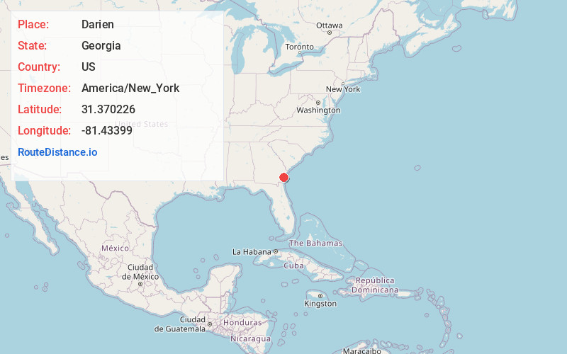
Static map view of Darien, Georgia
Browse Places by Distance
Places within specific distances from Darien
Short Distances
Long Distances
Click any distance to see all places within that range from Darien. Distances shown in miles (1 mile ≈ 1.61 kilometers).