Distance to Nahunta, Georgia

Calculating Your Route
Just a moment while we process your request...
Location Information
-
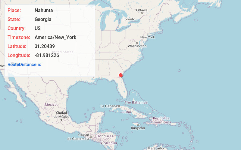
Full AddressNahunta, GA 31553
-
Coordinates31.20439, -81.981226
-
LocationNahunta , Georgia , US
-
TimezoneAmerica/New_York
-
Current Local Time9:24:48 PM America/New_YorkTuesday, May 20, 2025
-
Page Views0
About Nahunta
Nahunta is a city in and the county seat of Brantley County, Georgia, United States. It is part of the Brunswick metropolitan area. The population was 1,013 at the 2020 census. The city is an important crossroad which is intersected by U.S. Route 82 and U.S. Route 301 in its downtown area.

Nearby Places
Found 10 places within 50 miles

Blackshear
16.9 mi
27.2 km
Blackshear, GA 31516
Get directions

Waycross
22.0 mi
35.4 km
Waycross, GA
Get directions

Deenwood
23.3 mi
37.5 km
Deenwood, GA
Get directions
Sterling
25.2 mi
40.6 km
Sterling, GA
Get directions

Folkston
25.9 mi
41.7 km
Folkston, GA 31537
Get directions

Dock Junction
27.5 mi
44.3 km
Dock Junction, GA
Get directions

Jesup
28.4 mi
45.7 km
Jesup, GA
Get directions

Brunswick
29.4 mi
47.3 km
Brunswick, GA
Get directions

Kingsland
32.8 mi
52.8 km
Kingsland, GA
Get directions

St Simons Island
35.2 mi
56.6 km
St Simons Island, GA 31522
Get directions
Location Links
Local Weather
Weather Information
Coming soon!
Location Map
Static map view of Nahunta, Georgia
Browse Places by Distance
Places within specific distances from Nahunta
Short Distances
Long Distances
Click any distance to see all places within that range from Nahunta. Distances shown in miles (1 mile ≈ 1.61 kilometers).